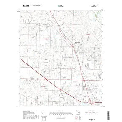
2021 Map of Cantonment
USGS Topo · Published 2021About this map
Cantonment and the surrounding Escambia County suburbs are depicted in this 2021 survey, showing a landscape defined by residential growth and a dense network of local roads. The map highlights the transition from the industrial and residential core of Gonzalez and Ensley to the more open spaces of Farm Hill. To the east, the Escambia River forms the natural boundary with Santa Rosa County, feeding into a series of water bodies including Waldorf Lake, Horseshoe Lake, and Stubbs Lake.
Find a feature on this map
273 named features on this map. Tap any name to fly to it.
Don’t see what you’re looking for? This feature index may not catch every label — zoom into the map to look around manually.
Map Details
Editions of this 2021 Cantonment Map
This is the sole edition of this map. No revisions or reprints were ever made.
Other maps of this area

1920 · Milton
USGS Topo · 1:62,500

1921 · Pensacola
USGS Topo · 1:62,500

1921 · Fort Barrancas
USGS Topo · 1:62,500

1921 · Muscogee
USGS Topo · 1:62,500

1941 · Fort Barrancas
USGS Topo · 1:62,500

1941 · Muscogee
USGS Topo · 1:62,500

1941 · Pensacola
USGS Topo · 1:62,500

1941 · Milton
USGS Topo · 1:62,500

1942 · Pensacola
USGS Topo · 1:62,500

1943 · Muscogee
USGS Topo · 1:62,500