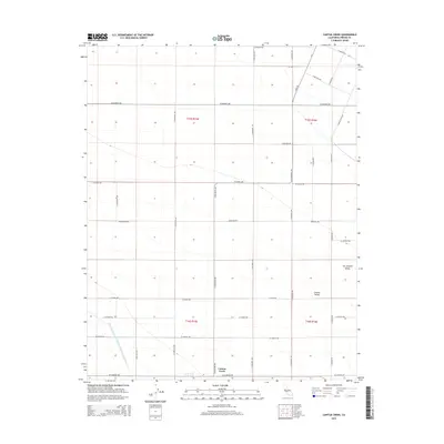
2015 Map of Cantua Creek
USGS Topo · Published 2015About this map
Cantua Creek sits at the heart of this agricultural survey, illustrating the organized grid of the Central Valley during the early 21st century. The landscape is defined by a dense network of transit corridors, including James Rd and S San Mateo Ave, which facilitate the movement of goods and resources across the San Joaquin Valley. A massive piece of infrastructure, the Governor Edmund G Brown California Aqueduct, cuts diagonally through the southwestern corner, signifying the critical role of water management in this arid region. The map provides a look at the Township and Range system in practice, with boundaries such as t15s r15e and t16s r16e clearly delineated. Local thoroughfares like W Manning Ave and W Floral Ave connect the various farm plots and residential clusters that characterize this productive reach of Fresno County.
Find a feature on this map
34 named features on this map. Tap any name to fly to it.
Don’t see what you’re looking for? This feature index may not catch every label — zoom into the map to look around manually.
Map Details
Editions of this 2015 Cantua Creek Map
This is the sole edition of this map. No revisions or reprints were ever made.
Other maps of this area

1912 · Coalinga
USGS Topo · 1:125,000

1922 · Tufts Ranch
USGS Topo · 1:31,680

1923 · Levis
USGS Topo · 1:31,680

1923 · Englebrecht Ranch
USGS Topo · 1:31,680

1924 · Jamesan
USGS Topo · 1:31,680

1924 · Tranquillity
USGS Topo · 1:31,680

1925 · San Joaquin
USGS Topo · 1:31,680

1931 · Towne Oil Station
USGS Topo · 1:31,680

1931 · Mouth of Cantua Creek
USGS Topo · 1:31,680

1943 · Joaquin Rocks
USGS Topo · 1:62,500