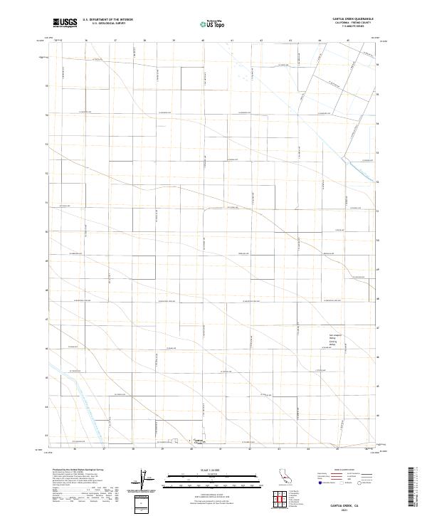
2021 Map of Cantua Creek
USGS Topo · Published 2021About this map
San Joaquin Valley agriculture dominates this landscape, defined by a rigid grid of rural roads and large-scale water management systems. The Governor Edmund G Brown California Aqueduct cuts a distinctive diagonal path across the southwest corner of the map, while the Beta Canal serves the northeast, illustrating the vital irrigation infrastructure of the Central Valley. The small settlement of Cantua Creek serves as a local hub near the southern border, connected to the surrounding farmsteads by an extensive network of West-named avenues and South-named roads. This arrangement of land into township and range sections—including t15s r15e and t16s r16e—reveals the systematic organization of California's interior ranching and farming territories during the early twenty-first century.
Find a feature on this map
39 named features on this map. Tap any name to fly to it.
Don’t see what you’re looking for? This feature index may not catch every label — zoom into the map to look around manually.
Map Details
Editions of this 2021 Cantua Creek Map
This is the sole edition of this map. No revisions or reprints were ever made.
Other maps of this area

1912 · Coalinga
USGS Topo · 1:125,000

1922 · Tufts Ranch
USGS Topo · 1:31,680

1923 · Levis
USGS Topo · 1:31,680

1923 · Englebrecht Ranch
USGS Topo · 1:31,680

1924 · Jamesan
USGS Topo · 1:31,680

1924 · Tranquillity
USGS Topo · 1:31,680

1925 · San Joaquin
USGS Topo · 1:31,680

1931 · Towne Oil Station
USGS Topo · 1:31,680

1931 · Mouth of Cantua Creek
USGS Topo · 1:31,680

1943 · Joaquin Rocks
USGS Topo · 1:62,500