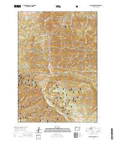
2020 Map of Canyon Mountain
USGS Topo · Published 2020About this map
Malheur National Forest dominates this landscape in Grant County, where the high ridges of the Strawberry Range and the Aldrich Mountains converge. The topography is defined by a dense network of gulches and creeks, including Canyon Cr and Vance Cr, which drain the steep slopes of Canyon Mtn and Eagle Peak. A notable infrastructure element is the Canyon City Municipal Watershed, which occupies a protected basin near Whiskey Gulch and Quartz Gulch. Further south, the terrain transitions toward Jack Cabin Meadow and the thermal features near Hot Springs. This survey provides a precise view of the complex hydrology of the area, showing how small springs like Maiden Spring and Fawn Spring feed the larger creek systems that have shaped the local geology over millennia.
Find a feature on this map
64 named features on this map. Tap any name to fly to it.
Don’t see what you’re looking for? This feature index may not catch every label — zoom into the map to look around manually.
Map Details
Editions of this 2020 Canyon Mountain Map
This is the sole edition of this map. No revisions or reprints were ever made.
Other maps of this area

1940 · Mount Vernon
USGS Topo · 1:62,500

1940 · John Day
USGS Topo · 1:62,500

1943 · John Day
USGS Topo · 1:62,500

1943 · Mount Vernon
USGS Topo · 1:62,500

1955 · Canyon City
USGS Topo · 1:250,000

1959 · Canyon City
USGS Topo · 1:250,000

1961 · Logdell
USGS Topo · 1:62,500

1961 · Seneca
USGS Topo · 1:62,500

1972 · John Day
USGS Topo · 1:24,000

1972 · Canyon Mtn
USGS Topo · 1:24,000