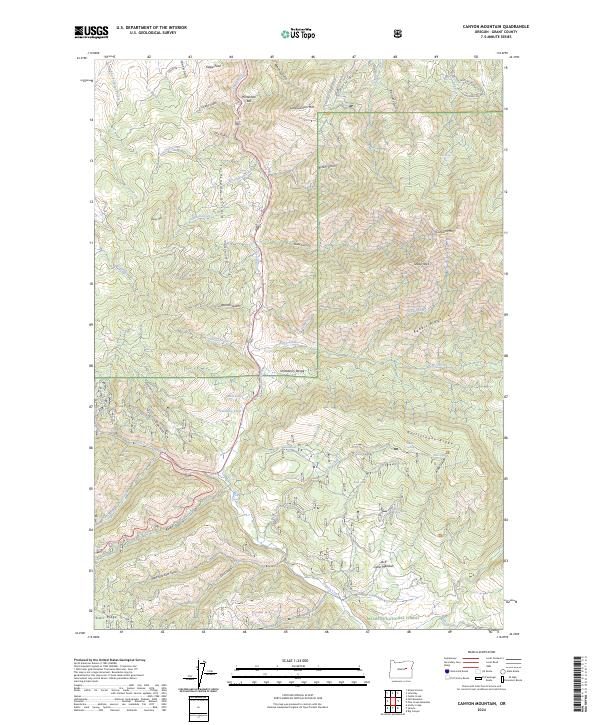
2024 Map of Canyon Mountain
USGS Topo · Published 2024About this map
The Strawberry Mountain Wilderness and Malheur National Forest dominate this landscape in Grant County, Oregon, where the high-altitude terrain of the Aldrich Mountains meets the Strawberry Range. This survey captures a region defined by complex drainage systems and significant vertical relief, centered around the prominent peak of Canyon Mtn. The hydrology is remarkably dense, featuring upland water sources like Guernsey Pond, Mud Lake, and the thermal activity at Hot Springs. The map reveals a history of land use through family-named gulches and landmarks, including Byram Gulch and Jack Cabin Meadow. Isolated landmarks such as Horseshoe Bar and the steep slopes of Eagle Peak illustrate the geological transition between the massive ridge systems of Rattlesnake Ridge and Starr Ridge.
Find a feature on this map
61 named features on this map. Tap any name to fly to it.
Don’t see what you’re looking for? This feature index may not catch every label — zoom into the map to look around manually.
Map Details
Editions of this 2024 Canyon Mountain Map
This is the sole edition of this map. No revisions or reprints were ever made.
Other maps of this area

1940 · Mount Vernon
USGS Topo · 1:62,500

1940 · John Day
USGS Topo · 1:62,500

1943 · John Day
USGS Topo · 1:62,500

1943 · Mount Vernon
USGS Topo · 1:62,500

1955 · Canyon City
USGS Topo · 1:250,000

1959 · Canyon City
USGS Topo · 1:250,000

1961 · Logdell
USGS Topo · 1:62,500

1961 · Seneca
USGS Topo · 1:62,500

1972 · John Day
USGS Topo · 1:24,000

1972 · Canyon Mtn
USGS Topo · 1:24,000