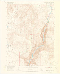
1954 Map of Canyon Of Lodore North
USGS Topo · Published 1965About this map
The Green River carves a deep path through the Canyon of Lodore in this mid-century survey of the Dinosaur National Monument region. The landscape is defined by its isolation and the marks of early high-country ranching and trapping life, with several homesteads noted as abandoned by the time of the 1954 field check. These include the Craig Place (Aban) near Craig Draw and the Wade and Curtis Cabin (Aban) perched above the river. The map details a transition from the high plateaus of Diamond Mountain and Offield Mountain down to the treacherous river rapids at Upper Disaster Falls and Lower Disaster Falls. This terrain serves as a record of mid-century federal land management, evidenced by the Lodore Ranger Station and the established Monument Boundary that separates the protected canyon from the surrounding basins. Local landmarks like Gates of Lodore and Dummy Bottom highlight the river-centric geography of northern Moffat County.
Find a feature on this map
41 named features on this map. Tap any name to fly to it.
Don’t see what you’re looking for? This feature index may not catch every label — zoom into the map to look around manually.
Map Details
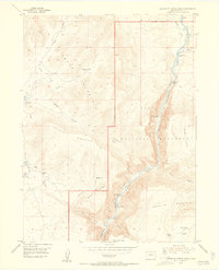
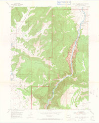
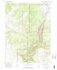
Editions of this 1954 Canyon Of Lodore North Map
5 editions found
Other maps of this area

1885 · Ashley
USGS Topo · 1:250,000

1952 · Swallow Canyon
USGS Topo · 1:24,000

1954 · Lodore School
USGS Topo · 1:24,000

1954 · Canyon of Lodore South
USGS Topo · 1:24,000

1954 · Canyon of Lodore North
USGS Topo · 1:24,000

1954 · Vernal
USGS Topo · 1:250,000

1955 · Jones Hole
USGS Topo · 1:24,000

1958 · Vernal
USGS Topo · 1:250,000

1960 · Vernal
USGS Topo · 1:250,000

1966 · Big Joe Basin
USGS Topo · 1:24,000