
1893 Map of Cape May
USGS Topo · Published 1893About this map
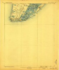
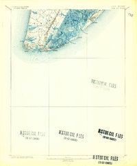
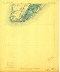
Cape May City and the surrounding coastal reaches of Cape May County are shown here in the late nineteenth century, long before modern beachfront development altered the landscape. The tip of the peninsula is defined by Cape May Point and the Cape May Light, anchoring a region of tidal marshes and intricate waterways including Jarvis Sound and Grassy Sound. The map captures the early rail-and-resort economy, with the Cape May and Sewells Point R.R. connecting to Sewell's Point.
Find a feature on this map
36 named features on this map. Tap any name to fly to it.
Don’t see what you’re looking for? This feature index may not catch every label — zoom into the map to look around manually.
Map Details
Editions of this 1893 Cape May Map
4 editions found
Other maps of this area

1884 · Sea Isle
USGS Topo · 1:62,500

1888 · Cape May
USGS Topo · 1:62,500

1888 · Dennisville
USGS Topo · 1:62,500

1888 · Sea Isle
USGS Topo · 1:62,500

1890 · Maurice Cove
USGS Topo · 1:62,500

1891 · Maurice Cove
USGS Topo · 1:62,500

1894 · Dennisville
USGS Topo · 1:62,500

1894 · Sea Isle
USGS Topo · 1:62,500

1898 · Cape May
USGS Topo · 1:62,500

1899 · Vineland
USGS Topo · 1:125,000