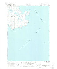
1952 Map of Cape Mendenhall D-2
USGS Topo · Published 1975About this map
Nunivak Island is the primary focus of this coastal study, illustrating the jagged eastern shoreline of the island where it meets the Etolin Strait. The landscape is dominated by complex water systems, with numerous small ponds and marshy areas inland from Atahgo Point and Cape Corwin. This territory is protected as part of the Nunivak National Wildlife Refuge, reflecting its ecological importance within the Bering Sea.
Find a feature on this map
9 named features on this map. Tap any name to fly to it.
Don’t see what you’re looking for? This feature index may not catch every label — zoom into the map to look around manually.
Map Details
Editions of this 1952 Cape Mendenhall D-2 Map
2 editions found
Other maps of this area

1951 · Cape Mendenhall
USGS Topo · 1:250,000

1951 · Nunivak Island
USGS Topo · 1:250,000

1952 · Cape Mendenhall D-3
USGS Topo · 1:63,360

1952 · Cape Mendenhall
USGS Topo · 1:250,000
1952 · Cape Mendenhall D-2
USGS Topo · 1:63,360

1952 · Nunivak Island A-3
USGS Topo · 1:63,360
1952 · Nunivak Island A-2
USGS Topo · 1:63,360

1954 · Nunivak Island
USGS Topo · 1:250,000

1958 · Nunivak Island
USGS Topo · 1:250,000

1964 · Nunivak Island
USGS Topo · 1:250,000