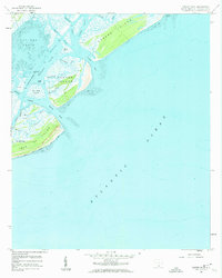
1959 Map of Capers Inlet
USGS Topo · Published 1960About this map
Isle of Palms and its neighboring barrier islands define this coastal landscape at the edge of the Atlantic Ocean during the late 1950s. The map illustrates a complex maritime environment where the Intracoastal Waterway threads behind the protective barrier of Dewees Island and Capers Island. This era captures the islands before the heavy modern residential development of later decades, showing a transition from tidal flats and marshes like Big Hill Marsh to the shifting sands of Dewees Inlet and Capers Inlet. Soundings and depth curves provide a window into the navigable waters of Copahee Sound and Bullyard Sound, while interior waterways such as Old House Creek and Seven Reaches trace the intricate hydrology of the South Carolina lowcountry.
Find a feature on this map
27 named features on this map. Tap any name to fly to it.
Don’t see what you’re looking for? This feature index may not catch every label — zoom into the map to look around manually.
Map Details
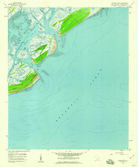
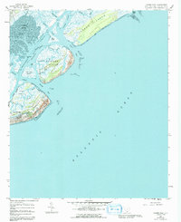
Editions of this 1959 Capers Inlet Map
3 editions found
Other maps of this area

1919 · The Jetties
USGS Topo · 1:21,120

1919 · Capers Island
USGS Topo · 1:21,120

1919 · Wando
USGS Topo · 1:21,120

1919 · Fort Moultrie
USGS Topo · 1:21,120

1919 · Bulls Island
USGS Topo · 1:21,120

1919 · Sewee Bay
USGS Topo · 1:21,120

1943 · Capers Island
USGS Topo · 1:24,000

1943 · Fort Moultrie
USGS Topo · 1:24,000

1943 · Wando
USGS Topo · 1:24,000

1943 · Sewee Bay
USGS Topo · 1:24,000