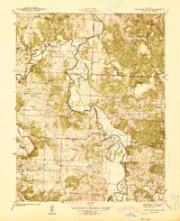
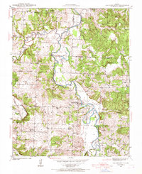
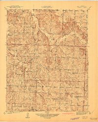
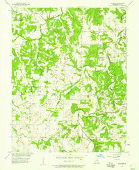
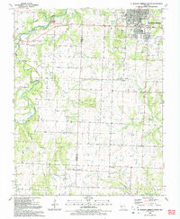
1939 Map of Caplinger Mills
USGS Topo · Published 1941This historical map portrays the area of Caplinger Mills in 1939, primarily covering Cedar County as well as portions of St. Clair County. Featuring a scale of 1:24000, this map provides a highly detailed snapshot of the terrain, roads, buildings, counties, and historical landmarks in the Caplinger Mills region at the time. Published in 1941, it is one of 4 known editions of this map due to revisions or reprints.
Find a feature on this map
47 named features on this map. Tap any name to fly to it.
Don’t see what you’re looking for? This feature index may not catch every label — zoom into the map to look around manually.
Map Details
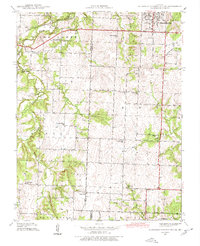
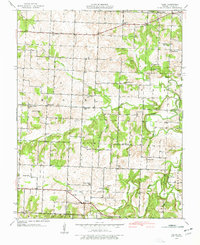
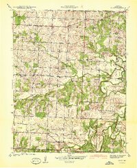
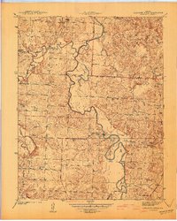
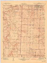
Editions of this 1939 Caplinger Mills Map
4 editions found
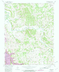
Historical Maps of Blackjack Through Time
15 maps found
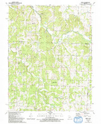
1939 Arnica
Cedar County, MO
1939 Caplinger Mills
Cedar County, MO
1939 Eldorado Springs South
Cedar County, MO
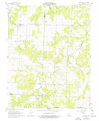
1939 Filley
Cedar County, MO
1940 Filley
Cedar County, MO
1941 Arnica
Cedar County, MO
1941 Caplinger Mills
Cedar County, MO
1942 Eldorado Springs South
Cedar County, MO
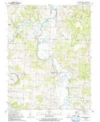
1956 Bearcreek
Cedar County, MO
1956 Wagoner
Cedar County, MO
1962 Montevallo
Cedar County, MO
1991 Arnica
Cedar County, MO
1991 Caplinger Mills
Cedar County, MO
1991 El Dorado Springs South
Cedar County, MO
1991 Filley
Cedar County, MO