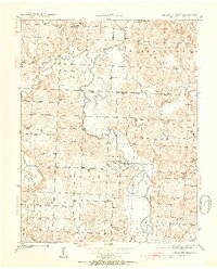
1939 Map of Caplinger Mills
USGS Topo · Published 1954About this map
The Sac River winds through the heart of this Cedar County landscape, defining the rural economy and geography of the late 1930s. At Caplinger Mills, the river’s power is harnessed at a historic mill site, while the surrounding hills are dotted with a dense network of one-room schoolhouses like Spring Valley Sch, Elliston Sch, and Mt Enon Sch. This survey reveals the importance of local commerce centers such as Lelia Store and Hackleman Corner, which served as vital hubs for the surrounding farming community.
Find a feature on this map
54 named features on this map. Tap any name to fly to it.
Don’t see what you’re looking for? This feature index may not catch every label — zoom into the map to look around manually.
Map Details
Editions of this 1939 Caplinger Mills Map
4 editions found
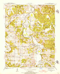
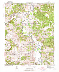
Other maps of this area

1886 · Stockton
USGS Topo · 1:125,000

1937 · Tiffin
USGS Topo · 1:31,680

1938 · Roscoe
USGS Topo · 1:24,000

1938 · Vista
USGS Topo · 1:24,000

1939 · Caplinger Mills
USGS Topo · 1:24,000

1939 · Arnica
USGS Topo · 1:24,000

1939 · Filley
USGS Topo · 1:24,000

1940 · Roscoe
USGS Topo · 1:24,000

1940 · Filley
USGS Topo · 1:24,000

1940 · Vista
USGS Topo · 1:24,000