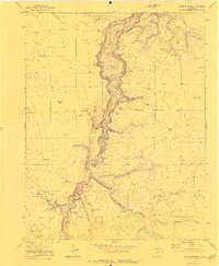
1970 Map of Capps Springs
USGS Topo · Published 1973About this map
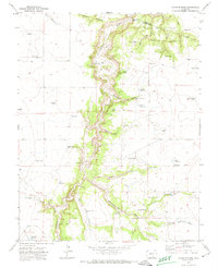
The Cucharas River carves a deep, winding path through the high plains at the border of Pueblo and Huerfano counties, dictating the development of this ranching landscape. Water management is central to the area's survival, evidenced by an extensive network of named livestock tanks and irrigation improvements like the Keystone Dam and Wyatt Reservoir. Small-scale ranching operations are anchored by the Kenner Ranch and several family-named water sources such as Jake Vigil Spring and Cucharas Spring.
Find a feature on this map
43 named features on this map. Tap any name to fly to it.
Don’t see what you’re looking for? This feature index may not catch every label — zoom into the map to look around manually.
Map Details
Editions of this 1970 Capps Springs Map
2 editions found
Other maps of this area

1891 · Walsenburg
USGS Topo · 1:125,000

1891 · Apishapa
USGS Topo · 1:125,000

1893 · Apishapa
USGS Topo · 1:125,000

1894 · Walsenburg
USGS Topo · 1:125,000

1897 · Walsenburg
USGS Topo · 1:125,000

1897 · Apishapa
USGS Topo · 1:125,000

1900 · Walsenburg
USGS Topo · 1:125,000

1954 · Trinidad
USGS Topo · 1:250,000

1955 · Trinidad
USGS Topo · 1:250,000

1958 · Trinidad
USGS Topo · 1:250,000