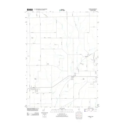
2012 Map of Capron
USGS Topo · Published 2012About this map
Capron sits at the southwestern edge of this landscape where the agricultural prairies of northern Illinois meet the Wisconsin state line. This rural corridor is defined by a series of family and community burial grounds, including Capron Cem, Dullam Cem, and Long Prairie Cem, which offer significant touchstones for genealogical research. The terrain is drained by several waterways, most notably Piscasaw Cr and its western branch, which meander toward the smaller settlements of Chemung and Lawrence.
Find a feature on this map
80 named features on this map. Tap any name to fly to it.
Don’t see what you’re looking for? This feature index may not catch every label — zoom into the map to look around manually.
Map Details
Editions of this 2012 Capron Map
This is the sole edition of this map. No revisions or reprints were ever made.
Other maps of this area

1893 · Delavan
USGS Topo · 1:62,500

1893 · Shopiere
USGS Topo · 1:62,500

1918 · Belvidere
USGS Topo · 1:62,500

1932 · Harvard
USGS Topo · 1:48,000

1937 · Harvard
USGS Topo · 1:62,500

1944 · Belvidere
USGS Topo · 1:62,500

1954 · Rockford
USGS Topo · 1:250,000

1955 · Rockford
USGS Topo · 1:250,000

1958 · Rockford
USGS Topo · 1:250,000
1960 · Delavan
USGS Topo · 1:62,500