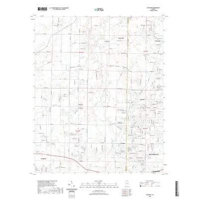
2020 Map of Capshaw
USGS Topo · Published 2020About this map
Limestone Creek and its many tributaries, including Leslie Br and Copperrun Br, carve through this landscape at the border of Limestone and Madison counties. The area reflects a transition from rural agricultural land to suburban expansion near Huntsville and Madison. A high density of family and community burial grounds, such as Vasser-Pettus Cem, McCargo-Crutcher Cem, and the Old German Cem, provides a detailed record of the region's early settlement patterns.
Find a feature on this map
199 named features on this map. Tap any name to fly to it.
Don’t see what you’re looking for? This feature index may not catch every label — zoom into the map to look around manually.
Map Details
Editions of this 2020 Capshaw Map
This is the sole edition of this map. No revisions or reprints were ever made.
Other maps of this area

1888 · Huntsville
USGS Topo · 1:125,000

1892 · Huntsville
USGS Topo · 1:125,000

1935 · Athens
USGS Topo · 1:24,000

1936 · Jeff
USGS Topo · 1:24,000

1936 · Capshaw
USGS Topo · 1:24,000

1936 · Madison
USGS Topo · 1:24,000

1936 · Elkmont
USGS Topo · 1:24,000

1936 · Ardmore
USGS Topo · 1:24,000

1936 · Toney
USGS Topo · 1:24,000

1936 · Tanner
USGS Topo · 1:24,000