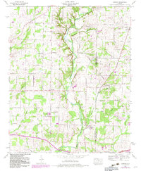
1958 Map of Capshaw
USGS Topo · Published 1982About this map
Limestone Creek meanders southward through this North Alabama landscape, tracing the border between Limestone and Madison counties. The area is defined by a dense network of small rural institutions and family-named landmarks, reflecting a well-established agricultural community in the late 1950s. Academic and spiritual life is anchored by facilities such as East Limestone Sch and Pilgrim Home Church, while the presence of numerous small burial grounds like the Nick Davis Cem and McClellan Cem provides significant data for genealogists tracing early residents.
Find a feature on this map
58 named features on this map. Tap any name to fly to it.
Don’t see what you’re looking for? This feature index may not catch every label — zoom into the map to look around manually.
Map Details
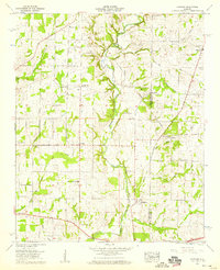
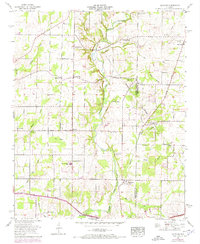
Editions of this 1958 Capshaw Map
3 editions found
Other maps of this area

1888 · Huntsville
USGS Topo · 1:125,000

1892 · Huntsville
USGS Topo · 1:125,000

1935 · Athens
USGS Topo · 1:24,000

1936 · Jeff
USGS Topo · 1:24,000

1936 · Capshaw
USGS Topo · 1:24,000

1936 · Madison
USGS Topo · 1:24,000

1936 · Elkmont
USGS Topo · 1:24,000

1936 · Ardmore
USGS Topo · 1:24,000

1936 · Toney
USGS Topo · 1:24,000

1936 · Tanner
USGS Topo · 1:24,000