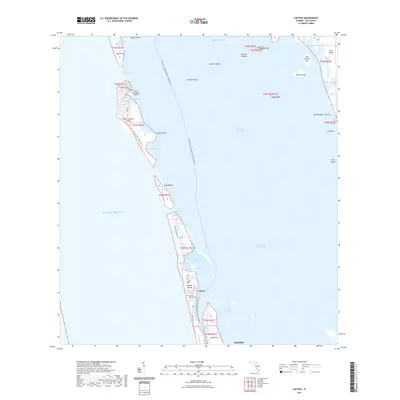
2021 Map of Captiva
USGS Topo · Published 2021About this map
Captiva Island and its surrounding keys form a complex barrier system between the Gulf of Mexico and Pine Island Sound in this recent survey. The map details a fragile coastal geography defined by dynamic water gaps like Captiva Pass and Redfish Pass, which isolate North Captiva Island from the mainland-connected portions of the coast. On the northern reaches, the private Salty Approach Airport and Safety Harbor suggest a remote, water-access-dependent settlement pattern. Farther south, the cultural history of the barrier island is anchored by Captiva's Historic Cem near the main Captiva settlement. The environment is heavily influenced by the Intracoastal Waterway and recreational routes like the Florida Circumnavigational Paddling Trail, highlighting the area's role as both a navigable transit corridor and a protected habitat for locations like Big Bird Rookery.
Find a feature on this map
49 named features on this map. Tap any name to fly to it.
Don’t see what you’re looking for? This feature index may not catch every label — zoom into the map to look around manually.
Map Details
Editions of this 2021 Captiva Map
This is the sole edition of this map. No revisions or reprints were ever made.
Other maps of this area
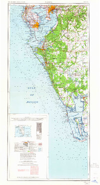
1956 · Tampa
USGS Topo · 1:250,000
1956 · Charlotte Harbor
USGS Topo · 1:250,000
1958 · Matlacha
USGS Topo · 1:24,000
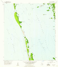
1958 · Captiva
USGS Topo · 1:24,000
1958 · Port Boca Grande
USGS Topo · 1:24,000
1958 · Sanibel
USGS Topo · 1:24,000
1958 · Pine Island Center
USGS Topo · 1:24,000
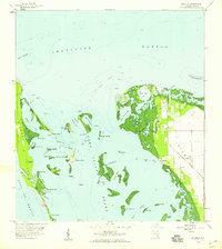
1958 · Bokeelia
USGS Topo · 1:24,000
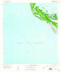
1958 · Wulfert
USGS Topo · 1:24,000
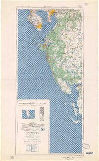
1959 · Tampa
USGS Topo · 1:250,000