
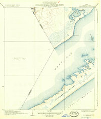
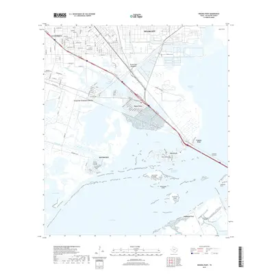
1933 Map of Carancahua Lake
USGS Topo · Published 1944About this map
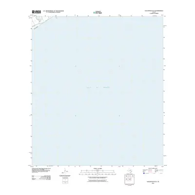
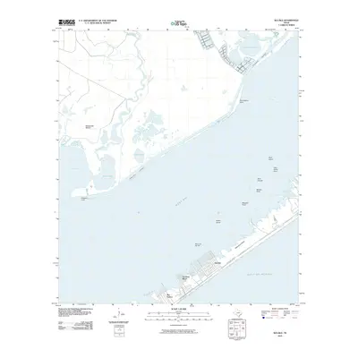
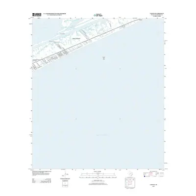
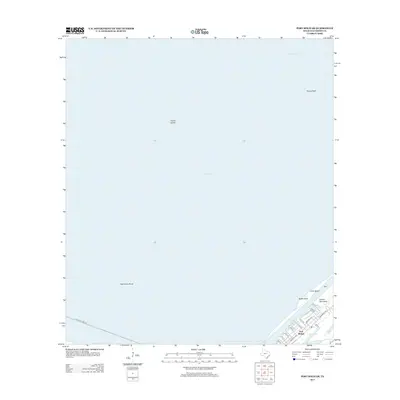
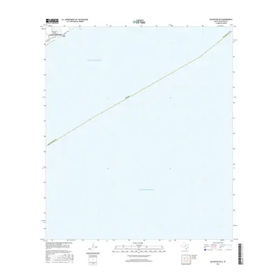
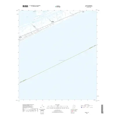
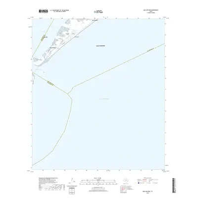
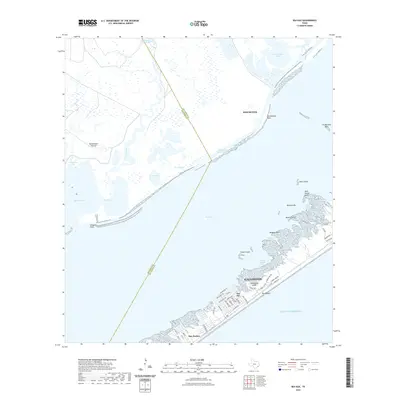
Galveston Island serves as a prominent barrier against the Gulf of Mexico, its northern tip showing the transition from salt marshes into the waters of West Bay. Surveyed in 1929 and published in the early 1940s, this chart captures the intricate hydrology of the Texas coast, where Halls Bayou enters the bay near the western boundary of Galveston County. The landscape is defined by tidal inlets and shallow basins, most notably Carancahua Lake and its connecting Carancahua Bayou. A significant portion of the mainland is marked as an Unsurveyed Area, contrasting with the detailed topographic lines tracing the elevations along the bay shores. These details are particularly useful for understanding the historical shoreline and the location of Carancahua Point and the offshore Carancahua Reef before subsequent decades of coastal erosion and development.
Find a feature on this map
11 named features on this map. Tap any name to fly to it.
Don’t see what you’re looking for? This feature index may not catch every label — zoom into the map to look around manually.
Map Details
Editions of this 1933 Carancahua Lake Map
2 editions found
Historical Maps of Galveston Through Time
96 maps found

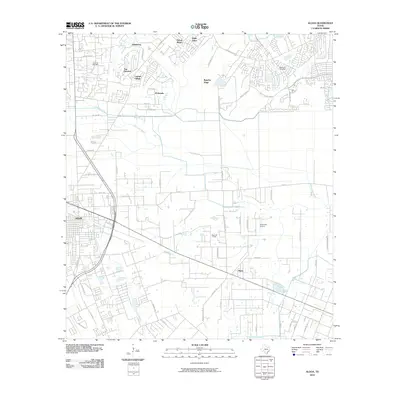
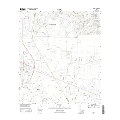
1929 Algoa
Galveston County, TX

1929 Karankawa Lake
Galveston County, TX

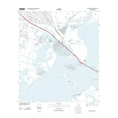
1929 Virginia Point
Galveston County, TX

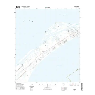
1931 Flake
Galveston County, TX

1931 Lake Como
Galveston County, TX

1932 Algoa
Galveston County, TX

1932 Bolivar Point
Galveston County, TX

1932 Virginia Point
Galveston County, TX

1933 Bolivar Point
Galveston County, TX

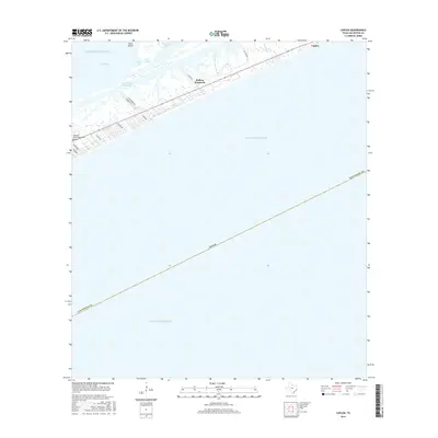
1933 Caplen
Galveston County, TX
1933 Carancahua Lake
Galveston County, TX

1933 Flake
Galveston County, TX

1933 Lake Como
Galveston County, TX

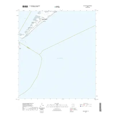
1933 San Luis Pass
Galveston County, TX

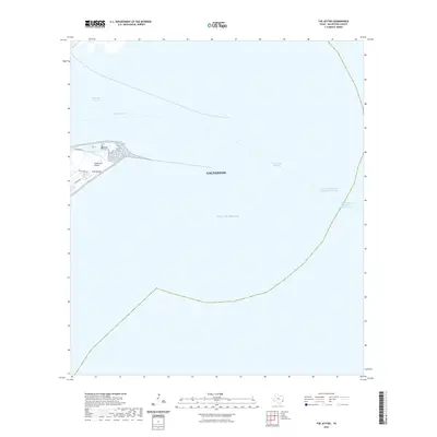
1933 The Jetties
Galveston County, TX

1943 Caplen
Galveston County, TX

1943 Carancahua Lake
Galveston County, TX

1943 Flake
Galveston County, TX

1943 Lake Como
Galveston County, TX

1943 Port Bolivar
Galveston County, TX

1943 San Luis Pass
Galveston County, TX

1943 The Jetties
Galveston County, TX

1943 Virginia Point
Galveston County, TX

1954 Caplen
Galveston County, TX

1954 Flake
Galveston County, TX

1954 Lake Como
Galveston County, TX

1954 Port Bolivar
Galveston County, TX

1954 The Jetties
Galveston County, TX

1954 Virginia Point
Galveston County, TX

1956 Algoa
Galveston County, TX

1963 San Luis Pass
Galveston County, TX

1963 Sea Isle
Galveston County, TX

1994 Caplen
Galveston County, TX

1994 Flake
Galveston County, TX

1994 Lake Como
Galveston County, TX

1994 Port Bolivar
Galveston County, TX

1994 The Jetties
Galveston County, TX

1994 Virginia Point
Galveston County, TX

1995 Virginia Point
Galveston County, TX
2010 Algoa
Galveston County, TX
2010 Caplen
Galveston County, TX
2010 Flake
Galveston County, TX
2010 Galveston OE S
Galveston County, TX
2010 Lake Como
Galveston County, TX
2010 Port Bolivar
Galveston County, TX
2010 San Luis Pass
Galveston County, TX
2010 Sea Isle
Galveston County, TX
2010 The Jetties
Galveston County, TX
2010 Virginia Point
Galveston County, TX
2013 Algoa
Galveston County, TX
2013 Caplen
Galveston County, TX
2013 Flake
Galveston County, TX
2013 Galveston OE S
Galveston County, TX
2013 Lake Como
Galveston County, TX
2013 Port Bolivar
Galveston County, TX
2013 San Luis Pass
Galveston County, TX
2013 Sea Isle
Galveston County, TX
2013 The Jetties
Galveston County, TX
2013 Virginia Point
Galveston County, TX
2016 Algoa
Galveston County, TX
2016 Caplen
Galveston County, TX
2016 Flake
Galveston County, TX
2016 Galveston OE S
Galveston County, TX
2016 Lake Como
Galveston County, TX
2016 Port Bolivar
Galveston County, TX
2016 San Luis Pass
Galveston County, TX
2016 Sea Isle
Galveston County, TX
2016 The Jetties
Galveston County, TX
2016 Virginia Point
Galveston County, TX
2019 Algoa
Galveston County, TX
2019 Caplen
Galveston County, TX
2019 Flake
Galveston County, TX
2019 Galveston OE S
Galveston County, TX
2019 Lake Como
Galveston County, TX
2019 Port Bolivar
Galveston County, TX
2019 San Luis Pass
Galveston County, TX
2019 Sea Isle
Galveston County, TX
2019 The Jetties
Galveston County, TX
2019 Virginia Point
Galveston County, TX

2022 Algoa
Galveston County, TX
2022 Caplen
Galveston County, TX
2022 Flake
Galveston County, TX

2022 Galveston OE S
Galveston County, TX
2022 Lake Como
Galveston County, TX

2022 Port Bolivar
Galveston County, TX
2022 San Luis Pass
Galveston County, TX
2022 Sea Isle
Galveston County, TX
2022 The Jetties
Galveston County, TX

2022 Virginia Point
Galveston County, TX

2025 Caplen
Galveston County, TX

2025 Flake
Galveston County, TX

2025 Galveston OE S
Galveston County, TX

2025 Lake Como
Galveston County, TX

2025 San Luis Pass
Galveston County, TX

2025 Sea Isle
Galveston County, TX

2025 The Jetties
Galveston County, TX