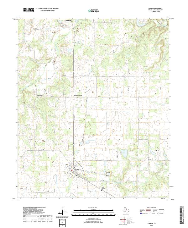
2022 Map of Carbon
USGS Topo · Published 2022About this map
Carbon anchors this landscape of West Central Texas, serving as a hub for the surrounding rural communities of Mangum, Punkin Center, and the southern outskirts of Eastland. The terrain is defined by the winding course of the Leon River and the S Fork Leon River, which create a network of drainage basins including Hunting Shirt Cr and Nash Cr. These waterways are complemented by several notable reservoirs and natural features like Hanson Lake, Carlton Lake, and McGough Springs.
Find a feature on this map
59 named features on this map. Tap any name to fly to it.
Don’t see what you’re looking for? This feature index may not catch every label — zoom into the map to look around manually.
Map Details
Editions of this 2022 Carbon Map
This is the sole edition of this map. No revisions or reprints were ever made.
Other maps of this area
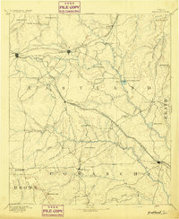
1894 · Eastland
USGS Topo · 1:125,000
1954 · Abilene
USGS Topo · 1:250,000
1958 · Abilene
USGS Topo · 1:250,000
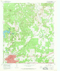
1966 · Cisco North
USGS Topo · 1:24,000
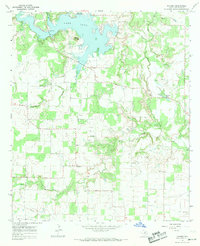
1966 · Kokomo
USGS Topo · 1:24,000
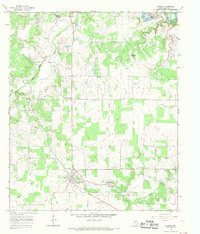
1966 · Carbon
USGS Topo · 1:24,000
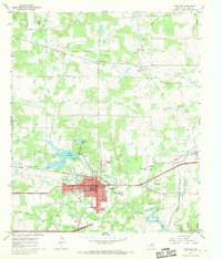
1966 · Eastland
USGS Topo · 1:24,000
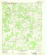
1966 · Cisco South
USGS Topo · 1:24,000
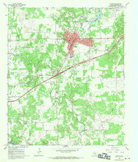
1966 · Ranger
USGS Topo · 1:24,000
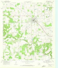
1968 · Gorman
USGS Topo · 1:24,000