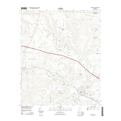
2014 Map of Carbon Hill
USGS Topo · Published 2014About this map
Carbon Hill and the neighboring settlements of Kansas and Eldridge anchor this portion of the Alabama coalfields where the terrain transitions from the high ground of Seamore Mtn and Sleepy Mtn down toward the winding waters of Lost Cr. The landscape is a network of small, rural communities like Dogtown, Slicklizzard, and Spring Hill, each connected by a dense grid of local routes such as Johnny Mack Lynn Rd and Steel Bridge Rd. Genealogists will find a significant concentration of burial sites throughout the quadrangle, including Norris Cem, Sims Cem, and Walden Cem, reflecting generations of local families. The mapping captures the distinct boundary between Winston County and Walker County in the north, while the southern reach includes infrastructure such as the Fish Hatchery Rd near Allen Cr.
Find a feature on this map
126 named features on this map. Tap any name to fly to it.
Don’t see what you’re looking for? This feature index may not catch every label — zoom into the map to look around manually.
Map Details
Editions of this 2014 Carbon Hill Map
This is the sole edition of this map. No revisions or reprints were ever made.
Other maps of this area

1893 · Jasper
USGS Topo · 1:125,000

1949 · Townley
USGS Topo · 1:24,000

1949 · Nauvoo
USGS Topo · 1:24,000

1950 · Nauvoo
USGS Topo · 1:24,000

1951 · Townley
USGS Topo · 1:24,000

1953 · Birmingham
USGS Topo · 1:250,000

1956 · Birmingham
USGS Topo · 1:250,000

1956 · Gadsden
USGS Topo · 1:250,000

1957 · Birmingham
USGS Topo · 1:250,000

1958 · Gadsden
USGS Topo · 1:250,000