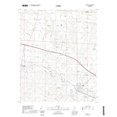
2018 Map of Carbon Hill
USGS Topo · Published 2018About this map
Carbon Hill and the surrounding coal-country settlements of Kansas and Eldridge anchor this topographic survey of Walker County. The landscape is defined by the winding course of Lost Creek and the notable elevations of Seamore Mountain and Sleepy Mountain. Local genealogy and community history are well-preserved through numerous burial grounds, including Spring Hill Cemetery, Shiloh Cemetery, and Norris Cemetery.
Find a feature on this map
99 named features on this map. Tap any name to fly to it.
Don’t see what you’re looking for? This feature index may not catch every label — zoom into the map to look around manually.
Map Details
Editions of this 2018 Carbon Hill Map
This is the sole edition of this map. No revisions or reprints were ever made.
Other maps of this area

1893 · Jasper
USGS Topo · 1:125,000
1949 · Townley
USGS Topo · 1:24,000
1949 · Nauvoo
USGS Topo · 1:24,000
1950 · Nauvoo
USGS Topo · 1:24,000
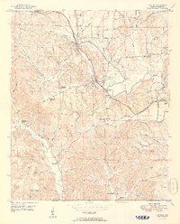
1951 · Townley
USGS Topo · 1:24,000

1953 · Birmingham
USGS Topo · 1:250,000

1956 · Birmingham
USGS Topo · 1:250,000
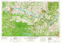
1956 · Gadsden
USGS Topo · 1:250,000

1957 · Birmingham
USGS Topo · 1:250,000
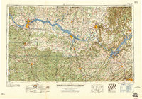
1958 · Gadsden
USGS Topo · 1:250,000