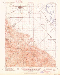
1922 Map of Carbona
USGS Topo · Published 1951About this map
The rail junctions of the Southern Pacific and Western Pacific define the landscape south of Tracy, where the San Joaquin Valley meets the rising Diablo Range. Surveyed in the 1910s, this area shows a dense network of early transit and agriculture before mid-century expansion. The map records several vanished or remote landmarks, including the isolated Brichetto Tomb and the curiously named Dutch Freds Place.
Find a feature on this map
51 named features on this map. Tap any name to fly to it.
Don’t see what you’re looking for? This feature index may not catch every label — zoom into the map to look around manually.
Map Details
Editions of this 1922 Carbona Map
3 editions found

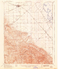
Other maps of this area

1897 · Mt. Hamilton
USGS Topo · 1:62,500

1907 · Tesla
USGS Topo · 1:62,500

1913 · Romain
USGS Topo · 1:31,680

1914 · Manteca
USGS Topo · 1:31,680

1914 · Bethany
USGS Topo · 1:31,680

1914 · Union Island
USGS Topo · 1:31,680

1915 · Vernalis
USGS Topo · 1:31,680

1915 · Lathrop
USGS Topo · 1:31,680

1915 · Ripon
USGS Topo · 1:31,680

1915 · Westley
USGS Topo · 1:31,680