
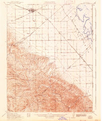
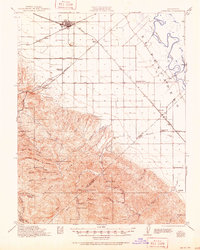
1922 Map of Carbona
USGS Topo · Published 1922About this map
Tracy stands as a rail hub in the north where the Southern Pacific and Western Pacific lines converge, marking a landscape defined by the transition from the flat Central Valley floor to the rising Smiths Ridge. The Tesla Branch railroad cuts southwest toward the uplands, passing the Jefferson School and Black Butte. This 1922 survey documents an era of established rural schooling, with the New Jerusalem School and Rising Sun School serving outlying agricultural communities like San Joaquin City and Vernalis.
Find a feature on this map
53 named features on this map. Tap any name to fly to it.
Don’t see what you’re looking for? This feature index may not catch every label — zoom into the map to look around manually.
Map Details
Editions of this 1922 Carbona Map
3 editions found
Other maps of this area

1897 · Mt. Hamilton
USGS Topo · 1:62,500

1907 · Tesla
USGS Topo · 1:62,500

1913 · Romain
USGS Topo · 1:31,680

1914 · Manteca
USGS Topo · 1:31,680

1914 · Bethany
USGS Topo · 1:31,680

1914 · Union Island
USGS Topo · 1:31,680

1915 · Vernalis
USGS Topo · 1:31,680

1915 · Lathrop
USGS Topo · 1:31,680

1915 · Ripon
USGS Topo · 1:31,680

1915 · Westley
USGS Topo · 1:31,680