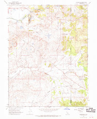
1968 Map of Carbondale
USGS Topo · Published 1970About this map
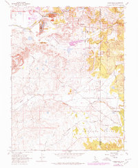
The Cosumnes River corridor dominates this landscape, showing the dramatic physical legacy of industrial mining operations through extensive Dredge Tailings banked along the river and Arkansas Creek. The 1968 field check captures a transitional moment for the Gold Country borderlands, where the historic mining footprint at Bridge House and Live Oak sits alongside modern transport routes. To the south, the Southern Pacific tracks run through the Arroyo Seco drainage near the settlement of Carbondale, providing a glimpse into the rail-linked economy of Sacramento and Amador counties.
Find a feature on this map
23 named features on this map. Tap any name to fly to it.
Don’t see what you’re looking for? This feature index may not catch every label — zoom into the map to look around manually.
Map Details
Editions of this 1968 Carbondale Map
7 editions found
Other maps of this area

1889 · Jackson
USGS Topo · 1:125,000

1891 · Sacramento
USGS Topo · 1:125,000

1891 · Placerville
USGS Topo · 1:125,000

1892 · Jackson
USGS Topo · 1:125,000

1892 · Sacramento
USGS Topo · 1:125,000

1892 · Placerville
USGS Topo · 1:125,000

1893 · Placerville
USGS Topo · 1:125,000

1893 · Sacramento
USGS Topo · 1:125,000

1894 · Lodi
USGS Topo · 1:125,000

1897 · Jackson
USGS Topo · 1:125,000