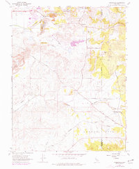
1968 Map of Carbondale
USGS Topo · Published 1977About this map
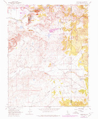
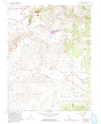
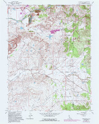
The Cosumnes River corridor near the Sacramento and Amador County boundary reveals a landscape deeply altered by resource extraction and early California industry. Extensive dredge tailings dominate the area near Bridge House and Michigan Bar, marking where gold mining reshaped the riverbanks. The settlement of Carbondale serves as a focal point in the southeast, situated along the Southern Pacific railroad line, which historically supported the transport of regional products. Numerous claypits and prospects are scattered across the terrain, particularly near Michigan Bar Road, indicating the ongoing importance of mineral deposits. For genealogists and local historians, the location of the Michigan Bar Cem and Live Oak Cem provide essential markers of the families who settled this transition zone between the valley and the foothills during the mid-to-late 20th century.
Find a feature on this map
32 named features on this map. Tap any name to fly to it.
Don’t see what you’re looking for? This feature index may not catch every label — zoom into the map to look around manually.
Map Details
Editions of this 1968 Carbondale Map
7 editions found
Other maps of this area

1889 · Jackson
USGS Topo · 1:125,000

1891 · Sacramento
USGS Topo · 1:125,000

1891 · Placerville
USGS Topo · 1:125,000

1892 · Jackson
USGS Topo · 1:125,000

1892 · Sacramento
USGS Topo · 1:125,000

1892 · Placerville
USGS Topo · 1:125,000

1893 · Placerville
USGS Topo · 1:125,000

1893 · Sacramento
USGS Topo · 1:125,000

1894 · Lodi
USGS Topo · 1:125,000

1897 · Jackson
USGS Topo · 1:125,000