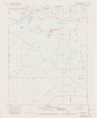
1968 Map of Carbondale
USGS Topo · Published 1980About this map
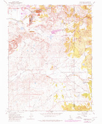
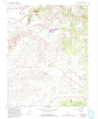
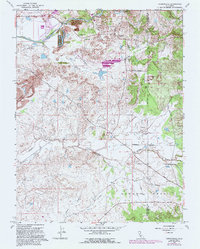
Cosumnes River corridors and the rolling foothills of the Sacramento and Amador county line define this landscape, heavily shaped by the region's industrial past. The extensive Dredge Tailings along the river and various Claypits near Carbondale reveal the long history of resource extraction in this corner of the Gold Country. Small settlements and rural outposts like Michigan Bar and Bridge House serve as landmarks for genealogists, while the Michigan Bar Cem and Live Oak Cem provide essential anchor points for family history research.
Find a feature on this map
26 named features on this map. Tap any name to fly to it.
Don’t see what you’re looking for? This feature index may not catch every label — zoom into the map to look around manually.
Map Details
Editions of this 1968 Carbondale Map
7 editions found
Other maps of this area

1889 · Jackson
USGS Topo · 1:125,000

1891 · Sacramento
USGS Topo · 1:125,000

1891 · Placerville
USGS Topo · 1:125,000

1892 · Jackson
USGS Topo · 1:125,000

1892 · Sacramento
USGS Topo · 1:125,000

1892 · Placerville
USGS Topo · 1:125,000

1893 · Placerville
USGS Topo · 1:125,000

1893 · Sacramento
USGS Topo · 1:125,000

1894 · Lodi
USGS Topo · 1:125,000

1897 · Jackson
USGS Topo · 1:125,000