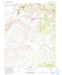
1968 Map of Carbondale
USGS Topo · Published 1993About this map
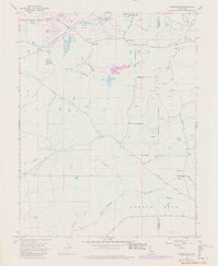
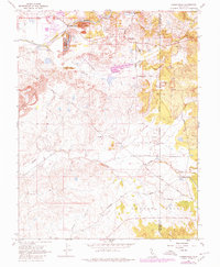
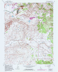
Cosumnes River corridor activities define this landscape along the border of Sacramento and Amador counties. Extensive Dredge Tailings throughout the northern section of the map reveal the long-term impact of industrial mining on the terrain. Small settlements and rural outposts such as Bridge House and Live Oak are connected by a network of local routes, including Pony Brown Road and Meiss Road.
Find a feature on this map
24 named features on this map. Tap any name to fly to it.
Don’t see what you’re looking for? This feature index may not catch every label — zoom into the map to look around manually.
Map Details
Editions of this 1968 Carbondale Map
7 editions found
Other maps of this area

1889 · Jackson
USGS Topo · 1:125,000

1891 · Sacramento
USGS Topo · 1:125,000

1891 · Placerville
USGS Topo · 1:125,000

1892 · Jackson
USGS Topo · 1:125,000

1892 · Sacramento
USGS Topo · 1:125,000

1892 · Placerville
USGS Topo · 1:125,000

1893 · Placerville
USGS Topo · 1:125,000

1893 · Sacramento
USGS Topo · 1:125,000

1894 · Lodi
USGS Topo · 1:125,000

1897 · Jackson
USGS Topo · 1:125,000