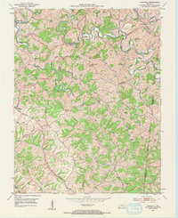
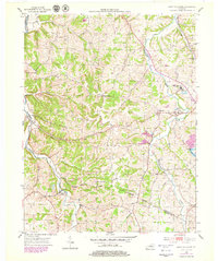
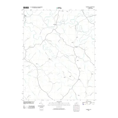
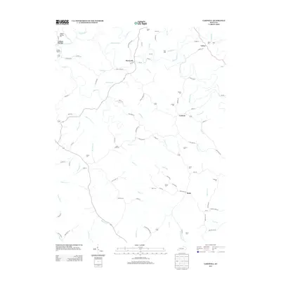
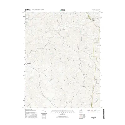
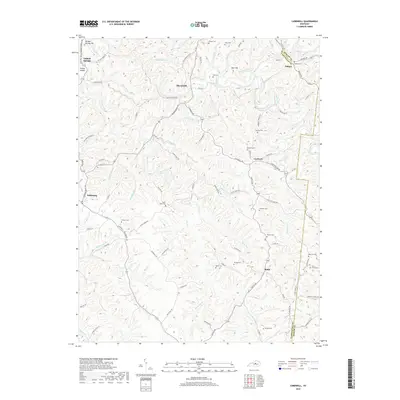
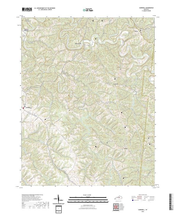
1953 Map of Cardwell
USGS Topo · Published 1958About this map
The Chaplin River carves a winding path through the borderlands of Washington and Mercer counties in this mid-century survey. Small, established settlements like Willisburg and Sharpsville anchor a landscape defined by sharp ridges and deep creek beds. The drainage network is particularly dense here, with Glens Creek, Taylors Fork, and Big Rock Creek feeding the river’s circuitous route.
Find a feature on this map
42 named features on this map. Tap any name to fly to it.
Don’t see what you’re looking for? This feature index may not catch every label — zoom into the map to look around manually.
Map Details
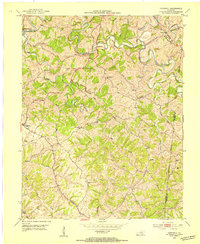
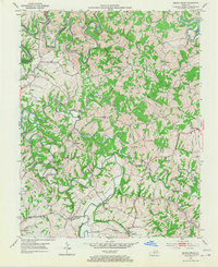
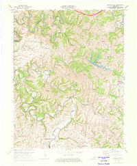
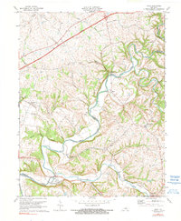
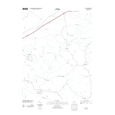
Editions of this 1953 Cardwell Map
2 editions found
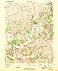
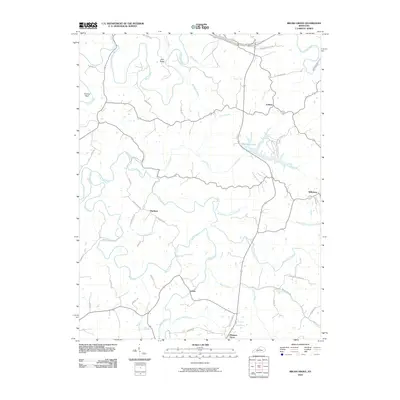
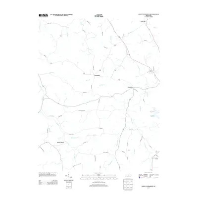
Historical Maps of Willisburg Through Time
26 maps found
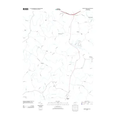
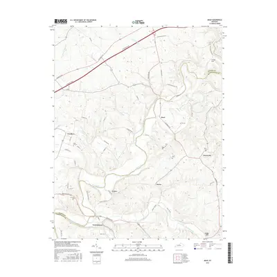
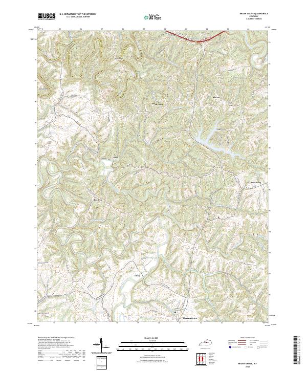
1953 Brush Grove
Washington County, KY
1953 Cardwell
Washington County, KY
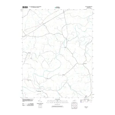
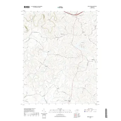
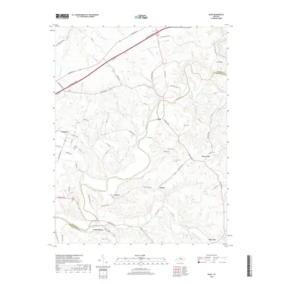
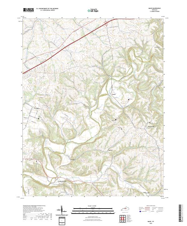
1953 Maud
Washington County, KY
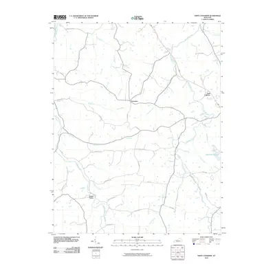
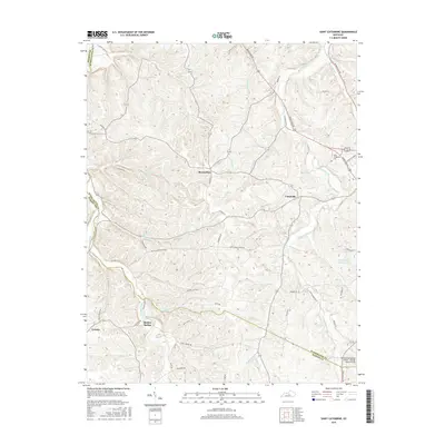
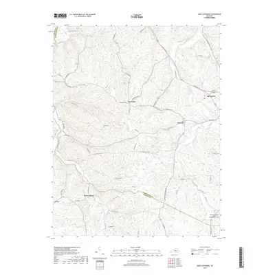
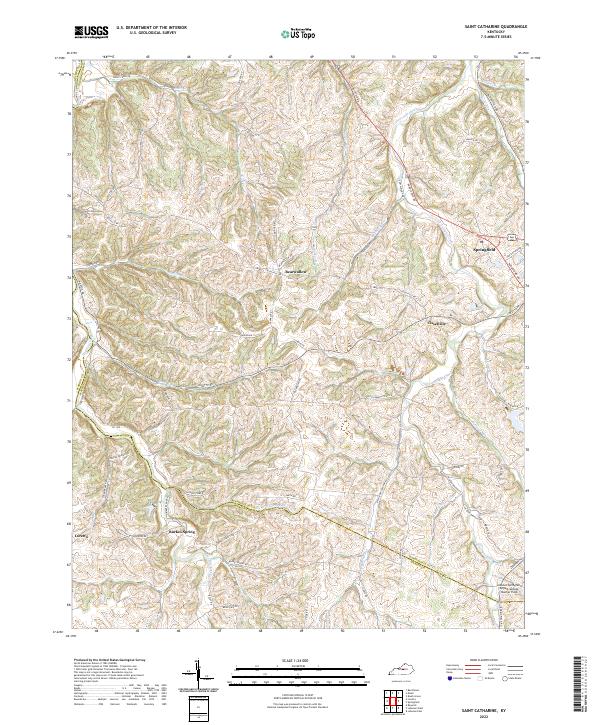
1953 Saint Catharine
Washington County, KY
1972 Brush Grove
Washington County, KY
1972 Maud
Washington County, KY
2010 Brush Grove
Washington County, KY
2010 Cardwell
Washington County, KY
2010 Maud
Washington County, KY
2010 Saint Catharine
Washington County, KY
2013 Brush Grove
Washington County, KY
2013 Cardwell
Washington County, KY
2013 Maud
Washington County, KY
2013 Saint Catharine
Washington County, KY
2016 Brush Grove
Washington County, KY
2016 Cardwell
Washington County, KY
2016 Maud
Washington County, KY
2016 Saint Catharine
Washington County, KY
2019 Brush Grove
Washington County, KY
2019 Cardwell
Washington County, KY
2019 Maud
Washington County, KY
2019 Saint Catharine
Washington County, KY
2022 Brush Grove
Washington County, KY
2022 Cardwell
Washington County, KY
2022 Maud
Washington County, KY
2022 Saint Catharine
Washington County, KY