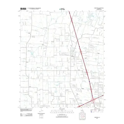
2012 Map of Carencro
USGS Topo · Published 2012About this map
Carencro serves as the central hub of this 2012 survey, revealing the modern spatial organization of Lafayette Parish. The landscape is characterized by a dense network of local roads and named residential drives, such as Chris Rd and Martin Prejean Rd, which connect established settlements like Cankton, Vatican, and Ossun. The local economy is visibly shaped by energy extraction, with several specialized zones including the North Cankton Oil and Gas Field and the North Ossun Oil Field integrated into the rural-suburban fringe.
Find a feature on this map
241 named features on this map. Tap any name to fly to it.
Don’t see what you’re looking for? This feature index may not catch every label — zoom into the map to look around manually.
Map Details
Editions of this 2012 Carencro Map
This is the sole edition of this map. No revisions or reprints were ever made.
Other maps of this area

1934 · Duson
USGS Topo · 1:31,680

1939 · St. Martinsville
USGS Topo · 1:62,500

1940 · Arnaudville
USGS Topo · 1:62,500

1946 · Lafayette
USGS Topo · 1:31,680

1952 · Lake Charles
USGS Topo · 1:250,000

1954 · Lafayette
USGS Topo · 1:31,680

1954 · Duson
USGS Topo · 1:31,680

1954 · Lake Charles
USGS Topo · 1:250,000

1954 · Baton Rouge
USGS Topo · 1:250,000

1955 · Lafayette
USGS Topo · 1:24,000