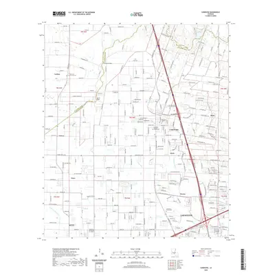
2020 Map of Carencro
USGS Topo · Published 2020About this map
Carencro sits at the heart of this landscape, marking a period of significant growth north of the Lafayette city center. The map details the transition from rural parish lands to suburban density, where residential streets and industrial facilities like the Industrial Helicopters Inc Airport meet traditional Acadiana landmarks. The cultural history of the region is evident in the numerous religious sites, including Saint Peter Catholic Cem and Our Lady of the Assumption Cem, which serve as cornerstones for local genealogy.
Find a feature on this map
169 named features on this map. Tap any name to fly to it.
Don’t see what you’re looking for? This feature index may not catch every label — zoom into the map to look around manually.
Map Details
Editions of this 2020 Carencro Map
This is the sole edition of this map. No revisions or reprints were ever made.
Other maps of this area

1934 · Duson
USGS Topo · 1:31,680

1939 · St. Martinsville
USGS Topo · 1:62,500

1940 · Arnaudville
USGS Topo · 1:62,500

1946 · Lafayette
USGS Topo · 1:31,680

1952 · Lake Charles
USGS Topo · 1:250,000

1954 · Lafayette
USGS Topo · 1:31,680

1954 · Duson
USGS Topo · 1:31,680

1954 · Lake Charles
USGS Topo · 1:250,000

1954 · Baton Rouge
USGS Topo · 1:250,000

1955 · Lafayette
USGS Topo · 1:24,000