2024 Map of Carencro
USGS Topo · Published 2024About this map
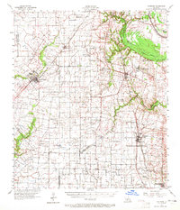
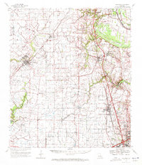
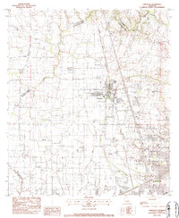
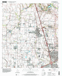
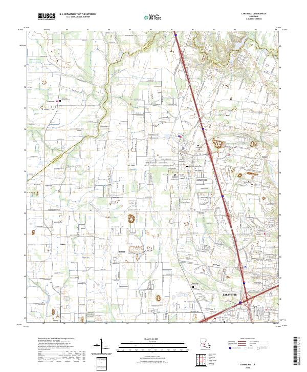
The settlement of Carencro serves as a focal point in this portion of Acadiana, where the landscape transitions from established towns to rural parish lands. The map documents a dense network of local cemeteries that reflect the area's deep-rooted heritage, including Saint John Berchman Cem, Our Lady of the Assumption Cem, and Saint Peter Catholic Cem. Natural drainage patterns like Coulee Mine and Francois Coulee weave through the terrain, defining the boundaries between communities such as Scott, Gloria, and Ossun. The southern edge captures the northern expansion of Lafayette, showing a mix of residential growth and specialized infrastructure like the Industrial Helicopters Inc Airport. This survey provides an essential look at the modern layout of the region, documenting the intricate grid of rural roads and established parish lines near the St. Landry Parish border.
Find a feature on this map
241 named features on this map. Tap any name to fly to it.
Don’t see what you’re looking for? This feature index may not catch every label — zoom into the map to look around manually.
Map Details
Editions of this 2024 Carencro Map
This is the sole edition of this map. No revisions or reprints were ever made.
Historical Maps of Vatican Through Time
5 maps found