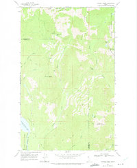
1969 Map of Caribou Creek
USGS Topo · Published 1975About this map
Upper Priest Lake and the Priest River anchor the southwestern corner of this survey, where The Thorofare provides a critical navigable link between water bodies. The terrain is defined by the high peaks of the Kaniksu National Forest, including Phoebe Tip, Lookout Mountain, and West Fork Mtn. A network of Pack Trails and Jeep Trails crisscrosses the topography, providing the only access to remote alpine features such as Mollies Lake, Lookout Lake, and the cascade at Caribou Falls.
Find a feature on this map
28 named features on this map. Tap any name to fly to it.
Don’t see what you’re looking for? This feature index may not catch every label — zoom into the map to look around manually.
Map Details
Editions of this 1969 Caribou Creek Map
2 editions found
Other maps of this area

1911 · Priest Lake
USGS Topo · 1:250,000

1913 · Priest Lake
USGS Topo · 1:250,000

1958 · Sandpoint
USGS Topo · 1:250,000

1963 · Sandpoint
USGS Topo · 1:250,000

1967 · Priest Lake NE
USGS Topo · 1:24,000

1967 · Priest Lake NW
USGS Topo · 1:24,000

1967 · The Wigwams
USGS Topo · 1:24,000
1968 · Continental Mtn
USGS Topo · 1:24,000

1969 · Grass Mountain
USGS Topo · 1:24,000
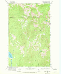
1969 · Caribou Creek
USGS Topo · 1:24,000