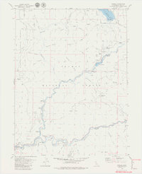
1979 Map of Caribou
USGS Topo · Published 1979About this map
The North Fork Feather River carves a deep path through the Plumas and Lassen National Forests, where hydroelectric infrastructure and historic mining sites meet. By the late 1970s, this section of the river was heavily shaped by Pacific Gas and Electric Co. developments, including the Butt Valley Res, the Belden Forebay, and a series of intake towers and surge chambers. Along the river banks, old mining bars like Rich Bar and Missouri Bar provide a physical link to the region's gold rush past. The Western Pacific railroad tracks hug the canyon walls, threading through Tunnel 23 and Tunnel 24 to navigate the steep terrain. Small settlements and campsites such as Caribou, Belden, and the Queen Lily Campground are dotted along the waterway, served by mountain roads and the steep Jeep Trail climbing toward Red Rock Ridge.
Find a feature on this map
72 named features on this map. Tap any name to fly to it.
Don’t see what you’re looking for? This feature index may not catch every label — zoom into the map to look around manually.
Map Details
Editions of this 1979 Caribou Map
4 editions found
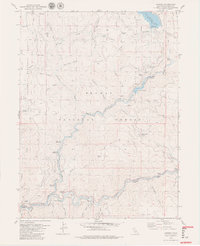
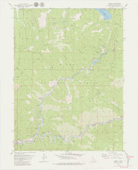
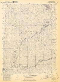
Other maps of this area

1886 · Lassen Peak
USGS Topo · 1:250,000

1888 · Bidwell Bar
USGS Topo · 1:125,000

1891 · Bidwell Bar
USGS Topo · 1:125,000

1892 · Lassen Peak
USGS Topo · 1:250,000

1893 · Bidwell Bar
USGS Topo · 1:125,000

1894 · Lassen Peak
USGS Topo · 1:250,000

1895 · Bidwell Bar
USGS Topo · 1:125,000

1897 · Bidwell Bar
USGS Topo · 1:125,000

1950 · Bucks Lake
USGS Topo · 1:62,500

1955 · Almanor
USGS Topo · 1:62,500