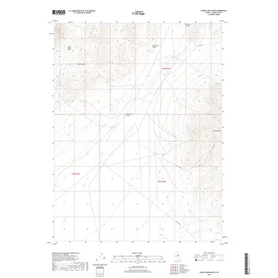
2018 Map of Carico Lake South
USGS Topo · Published 2018About this map
Carico Lake Valley characterizes this high-desert landscape in Lander County, where seasonal water sources and rugged drainages define the area's geography. The presence of numerous named water points, such as Elephant Head Spring, Stone Cabin Spring, and Whaley Spring Number Two, suggests a landscape historically vital for livestock or transient miners in an otherwise arid basin. These springs are concentrated around the Stone Cabin Basin and the slopes of the Red Mountains, which dominate the eastern portion of the terrain.
Find a feature on this map
18 named features on this map. Tap any name to fly to it.
Don’t see what you’re looking for? This feature index may not catch every label — zoom into the map to look around manually.
Map Details
Editions of this 2018 Carico Lake South Map
This is the sole edition of this map. No revisions or reprints were ever made.
Other maps of this area

1926 · Roberts Mountains
USGS Topo · 1:250,000

1929 · Roberts Mountains
USGS Topo · 1:250,000

1932 · Sonoma Range
USGS Topo · 1:250,000

1939 · Sonoma Range
USGS Topo · 1:250,000

1955 · Millett
USGS Topo · 1:250,000

1955 · Winnemucca
USGS Topo · 1:250,000

1956 · Hall Creek
USGS Topo · 1:62,500

1958 · Winnemucca
USGS Topo · 1:250,000

1959 · Millett
USGS Topo · 1:250,000

1961 · The Cedars
USGS Topo · 1:62,500