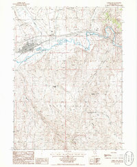
1985 Map of Carlin East
USGS Topo · Published 1986About this map
The Humboldt River corridor dominates this 1980s landscape, serving as the primary artery for both water and transport through the high desert of Elko County. The town of Carlin is the focal point, situated at the junction of significant rail operations where the Southern Pacific and Western Pacific lines converge. This infrastructure highlights the area's historical importance as a railroad division point. Surrounding the valley, the Adobe Range and Pinon Range rise sharply, dotted with numerous prospects and mines that indicate the region's enduring mineral exploration.
Find a feature on this map
33 named features on this map. Tap any name to fly to it.
Don’t see what you’re looking for? This feature index may not catch every label — zoom into the map to look around manually.
Map Details
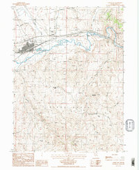
Editions of this 1985 Carlin East Map
2 editions found
Other maps of this area

1952 · Dixie Flats
USGS Topo · 1:62,500

1952 · Carlin
USGS Topo · 1:62,500

1955 · Winnemucca
USGS Topo · 1:250,000

1955 · Elko
USGS Topo · 1:250,000

1958 · Winnemucca
USGS Topo · 1:250,000

1958 · Elko
USGS Topo · 1:250,000

1958 · Hunter
USGS Topo · 1:24,000

1958 · Huntsman Ranch
USGS Topo · 1:24,000

1962 · Elko
USGS Topo · 1:250,000

1962 · Winnemucca
USGS Topo · 1:250,000