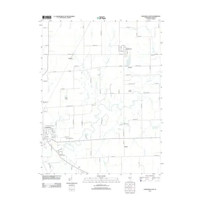
2012 Map of Carlinville East
USGS Topo · Published 2012About this map
Carlinville serves as the focal point of this Macoupin County landscape, where the campus of Blackburn University sits on the city's eastern edge. The terrain is defined by the winding course of Macoupin Creek and its many tributaries, including Hurricane Creek and Sugar Creek, which snake through a patchwork of rural farmland and small settlements like Standard City and Womac.
Find a feature on this map
90 named features on this map. Tap any name to fly to it.
Don’t see what you’re looking for? This feature index may not catch every label — zoom into the map to look around manually.
Map Details
Editions of this 2012 Carlinville East Map
This is the sole edition of this map. No revisions or reprints were ever made.
Other maps of this area

1912 · Gillespie
USGS Topo · 1:62,500

1915 · Gillespie
USGS Topo · 1:62,500

1915 · Mount Olive
USGS Topo · 1:62,500

1923 · Carlinville
USGS Topo · 1:48,000

1923 · Raymond
USGS Topo · 1:62,500

1925 · Carlinville
USGS Topo · 1:62,500

1925 · Raymond
USGS Topo · 1:62,500

1931 · Carlinville
USGS Topo · 1:62,500

1944 · Mount Olive
USGS Topo · 1:62,500

1958 · Decatur
USGS Topo · 1:250,000