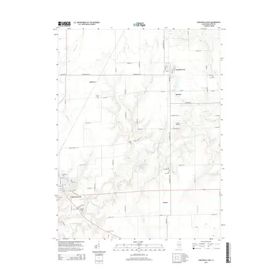
2015 Map of Carlinville East
USGS Topo · Published 2015About this map
Carlinville anchors the southwest corner of this Macoupin County landscape, where the campus of Blackburn Coll meets the rolling drainage of Macoupin Creek. The map documents a rural corridor defined by small settlements and historic family burying grounds, including Anderson Cem, Moores Cem, and the Gray Family Cem. Further north, the grid of Standard City and the nearby locality of Schoper signify the region's long-standing residential and agricultural patterns. The terrain is notably dissected by a network of waterways such as Hurricane Cr and Sugar Cr, which flow toward the larger Macoupin Creek basin. Local landmarks like Coops Mound and Mayfield Memorial Park provide distinct navigational points within the extensive network of secondary routes like Standard City Rd and Nursery Rd.
Find a feature on this map
82 named features on this map. Tap any name to fly to it.
Don’t see what you’re looking for? This feature index may not catch every label — zoom into the map to look around manually.
Map Details
Editions of this 2015 Carlinville East Map
This is the sole edition of this map. No revisions or reprints were ever made.
Other maps of this area

1912 · Gillespie
USGS Topo · 1:62,500

1915 · Gillespie
USGS Topo · 1:62,500

1915 · Mount Olive
USGS Topo · 1:62,500

1923 · Carlinville
USGS Topo · 1:48,000

1923 · Raymond
USGS Topo · 1:62,500

1925 · Carlinville
USGS Topo · 1:62,500

1925 · Raymond
USGS Topo · 1:62,500

1931 · Carlinville
USGS Topo · 1:62,500

1944 · Mount Olive
USGS Topo · 1:62,500

1958 · Decatur
USGS Topo · 1:250,000