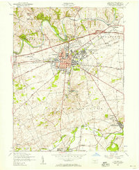
1952 Map of Carlisle
USGS Topo · Published 1958About this map
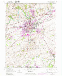
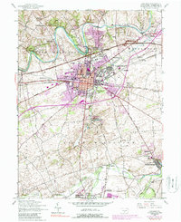
The U S Military Reservation Carlisle Barracks and the historic borough of Carlisle serve as the focal point of this 1952 topographic study. The landscape is defined by the winding course of Conodoguinet Creek to the north and the spring-fed waters of Yellow Breeches Creek to the south. Transportation networks of the early fifties are clearly visible, with the Pennsylvania Turnpike cutting across the northern township of Middlesex while the Reading railroad corridor connects industrial nodes from Mount Holly Springs through Carlisle Junction to the county seat.
Find a feature on this map
52 named features on this map. Tap any name to fly to it.
Don’t see what you’re looking for? This feature index may not catch every label — zoom into the map to look around manually.
Map Details
Editions of this 1952 Carlisle Map
6 editions found
Other maps of this area

1904 · Carlisle
USGS Topo · 1:62,500

1907 · New Bloomfield
USGS Topo · 1:62,500

1919 · Newville
USGS Topo · 1:62,500

1930 · Loysville
USGS Topo · 1:62,500

1933 · Loysville
USGS Topo · 1:62,500

1943 · New Bloomfield
USGS Topo · 1:62,500

1943 · Carlisle
USGS Topo · 1:62,500

1945 · Newville
USGS Topo · 1:62,500

1950 · Harrisburg
USGS Topo · 1:250,000
1952 · Dickinson
USGS Topo · 1:24,000
Featured Places
- Carlisle, PA
- Middlesex Township, PA
- Schlusser, PA
- Boiling Springs, South Middleton Township
- West Pennsboro Township, PA