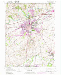
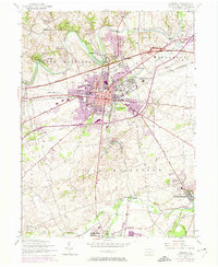
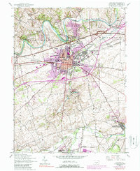
1952 Map of Carlisle
USGS Topo · Published 1980About this map
Carlisle serves as a hub of transportation and military history in central Pennsylvania, anchored by the expansive Carlisle Barracks and the crossing of the Penn Central and Reading railroads. The landscape is defined by the winding Conodoguinet Creek to the north and the spring-fed waters of Yellow Breeches Creek to the south, where the village of Boiling Springs sits.
Find a feature on this map
49 named features on this map. Tap any name to fly to it.
Don’t see what you’re looking for? This feature index may not catch every label — zoom into the map to look around manually.
Map Details
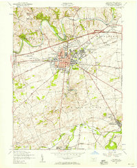
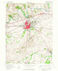
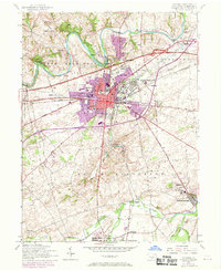
Editions of this 1952 Carlisle Map
6 editions found
Other maps of this area

1904 · Carlisle
USGS Topo · 1:62,500

1907 · New Bloomfield
USGS Topo · 1:62,500

1919 · Newville
USGS Topo · 1:62,500

1930 · Loysville
USGS Topo · 1:62,500

1933 · Loysville
USGS Topo · 1:62,500

1943 · New Bloomfield
USGS Topo · 1:62,500

1943 · Carlisle
USGS Topo · 1:62,500

1945 · Newville
USGS Topo · 1:62,500

1950 · Harrisburg
USGS Topo · 1:250,000
1952 · Dickinson
USGS Topo · 1:24,000
Featured Places
- Carlisle, PA
- Middlesex Township, PA
- Schlusser, PA
- Boiling Springs, South Middleton Township
- West Pennsboro Township, PA