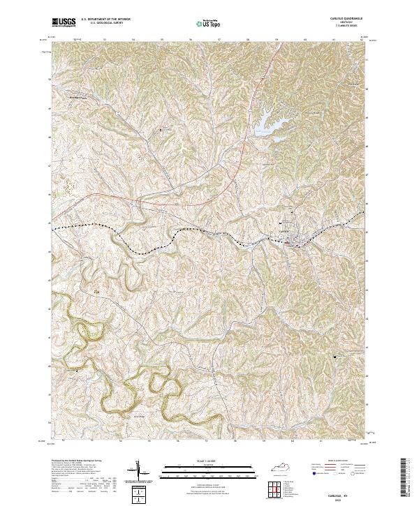
2022 Map of Carlisle
USGS Topo · Published 2022About this map
Carlisle serves as the focal point of this Nicholas County landscape, where the Nicholas County Courthouse stands at the center of a dense street grid. The town is flanked by several historic burial grounds, including Carlisle Cem, Henryville Cem, and the nearby Mount Carmel Cem to the northwest. This modern survey illustrates how traditional Kentucky farm roads like Maysville Rd and Carpenter Pike continue to navigate the undulating terrain of Irish Ridge and Hickory Ridge.
Find a feature on this map
78 named features on this map. Tap any name to fly to it.
Don’t see what you’re looking for? This feature index may not catch every label — zoom into the map to look around manually.
Map Details
Editions of this 2022 Carlisle Map
This is the sole edition of this map. No revisions or reprints were ever made.
Other maps of this area

1952 · Cowan
USGS Topo · 1:24,000

1952 · Sharpsburg
USGS Topo · 1:24,000

1952 · Paris East
USGS Topo · 1:24,000

1952 · North Middletown
USGS Topo · 1:24,000

1952 · Piqua
USGS Topo · 1:24,000

1952 · Shady Nook
USGS Topo · 1:24,000

1953 · Carlisle
USGS Topo · 1:24,000

1953 · Moorefield
USGS Topo · 1:24,000

1953 · Millersburg
USGS Topo · 1:24,000

1956 · Louisville
USGS Topo · 1:250,000