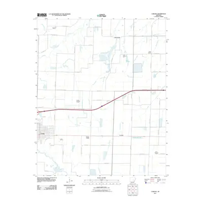
2011 Map of Carlisle
USGS Topo · Published 2011About this map
Carlisle serves as the primary hub of this Lonoke County landscape, where the rectilinear grid of the town site meets a complex network of agricultural drainage and aviation infrastructure. The region is defined by its transition from the built environment to an extensive hydraulic system including Bayou Two Prairie, La Grue Bayou, and Hansons Reservoir. Transportation and utility corridors are prominent, with multiple airstrips such as Carlisle Municipal Airport and Hazen Municipal Airport supporting the local economy.
Find a feature on this map
62 named features on this map. Tap any name to fly to it.
Don’t see what you’re looking for? This feature index may not catch every label — zoom into the map to look around manually.
Map Details
Editions of this 2011 Carlisle Map
This is the sole edition of this map. No revisions or reprints were ever made.
Other maps of this area

1935 · Hazen
USGS Topo · 1:62,500

1937 · Stuttgart
USGS Topo · 1:62,500

1937 · England
USGS Topo · 1:48,000

1939 · Stuttgart
USGS Topo · 1:62,500

1940 · Lonoke
USGS Topo · 1:62,500

1941 · Hazen
USGS Topo · 1:62,500

1943 · England
USGS Topo · 1:62,500

1948 · Helena
USGS Topo · 1:250,000

1949 · Lonoke
USGS Topo · 1:62,500

1950 · Helena
USGS Topo · 1:250,000