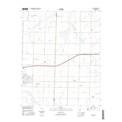
2017 Map of Carlisle
USGS Topo · Published 2017About this map
The town of Carlisle and its surrounding agricultural plains are defined by a network of drainage canals and reservoirs essential to the region's rice-growing heritage. Situated along the boundary of Lonoke and Prairie Counties, marked by Co Line Rd, the landscape transitions from the grid-like streets of the main settlement to the outlying community of Screeton and the western edge of Hazen. Local history is anchored at sites like Carlisle Cem, Mount Zion Cem, and Mount Pleasant Cem, while the industrial and transportation footprint is reflected in the Carlisle Municipal Airport. Water management is prominent throughout the terrain, with features such as Vaughts Reservoir, Lake Treadway, and the wandering course of Bayou Two Prairie. This survey captures the rural character of the Grand Prairie region, where a complex irrigation system including Buck Cr and La Grue Bayou supports the local economy.
Find a feature on this map
88 named features on this map. Tap any name to fly to it.
Don’t see what you’re looking for? This feature index may not catch every label — zoom into the map to look around manually.
Map Details
Editions of this 2017 Carlisle Map
This is the sole edition of this map. No revisions or reprints were ever made.
Other maps of this area

1935 · Hazen
USGS Topo · 1:62,500

1937 · Stuttgart
USGS Topo · 1:62,500

1937 · England
USGS Topo · 1:48,000

1939 · Stuttgart
USGS Topo · 1:62,500

1940 · Lonoke
USGS Topo · 1:62,500

1941 · Hazen
USGS Topo · 1:62,500

1943 · England
USGS Topo · 1:62,500

1948 · Helena
USGS Topo · 1:250,000

1949 · Lonoke
USGS Topo · 1:62,500

1950 · Helena
USGS Topo · 1:250,000