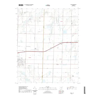
2020 Map of Carlisle
USGS Topo · Published 2020About this map
Carlisle and Hazen anchor this central Arkansas landscape, where the flat terrain of the Grand Prairie meets an intricate network of drainage and reservoirs. The area's agricultural character is defined by water management, seen in features like Lake Treadway, Vaughts Reservoir, and Hansons Reservoir. Local history is preserved in several rural burial grounds, including Carlisle Cem, Mount Zion Cem, and Mount Pleasant Cem, which serve as landmarks for genealogists tracing families in the region.
Find a feature on this map
90 named features on this map. Tap any name to fly to it.
Don’t see what you’re looking for? This feature index may not catch every label — zoom into the map to look around manually.
Map Details
Editions of this 2020 Carlisle Map
This is the sole edition of this map. No revisions or reprints were ever made.
Other maps of this area

1935 · Hazen
USGS Topo · 1:62,500

1937 · Stuttgart
USGS Topo · 1:62,500

1937 · England
USGS Topo · 1:48,000

1939 · Stuttgart
USGS Topo · 1:62,500

1940 · Lonoke
USGS Topo · 1:62,500

1941 · Hazen
USGS Topo · 1:62,500

1943 · England
USGS Topo · 1:62,500

1948 · Helena
USGS Topo · 1:250,000

1949 · Lonoke
USGS Topo · 1:62,500

1950 · Helena
USGS Topo · 1:250,000