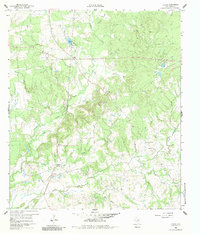
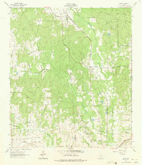
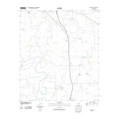
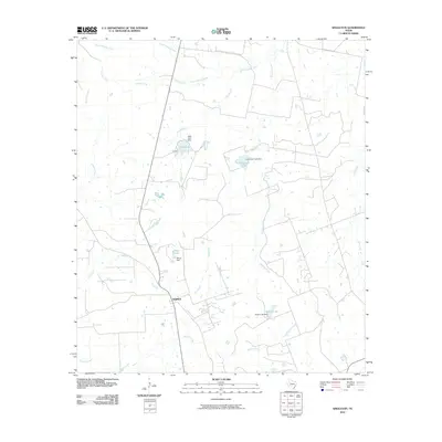
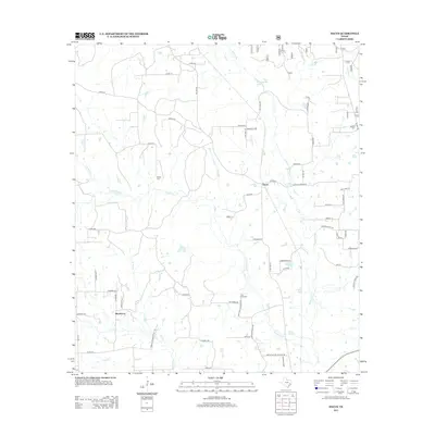
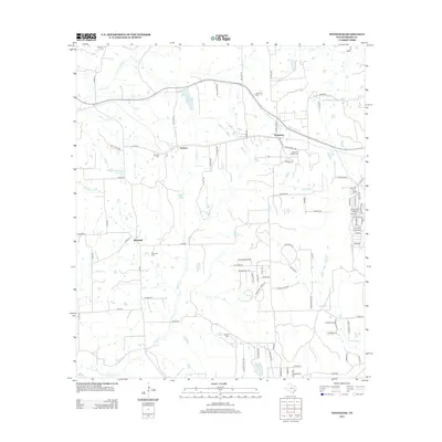
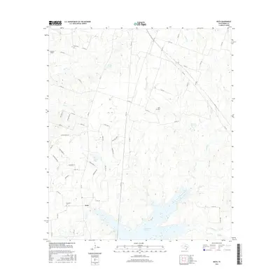
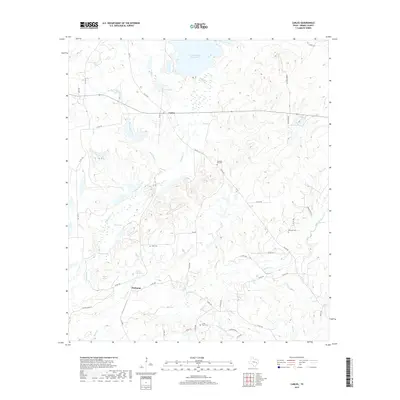
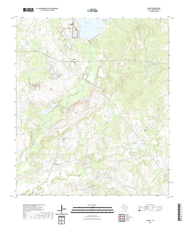
1960 Map of Carlos
USGS Topo · Published 1983About this map
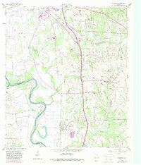
Carlos and Piedmont anchor this 1960 landscape in Grimes County, where the rural economy was defined by timbered creek bottoms and early industrial activity. The presence of an Old Railroad Grade and an Airstrip indicates the shifting transportation methods used to move goods and people across the Brazos River valley region. Geologic resources are mapped through several Quarries and a Gravel Pit near Sand Creek.
Find a feature on this map
32 named features on this map. Tap any name to fly to it.
Don’t see what you’re looking for? This feature index may not catch every label — zoom into the map to look around manually.
Map Details
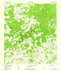
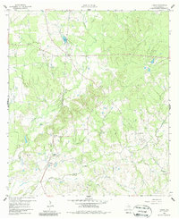
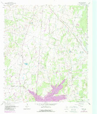
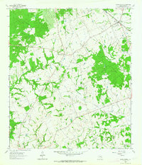
Editions of this 1960 Carlos Map
4 editions found
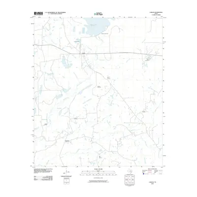
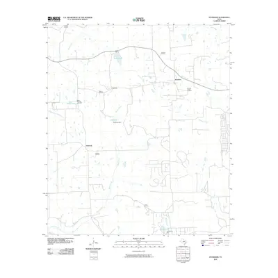
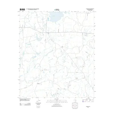
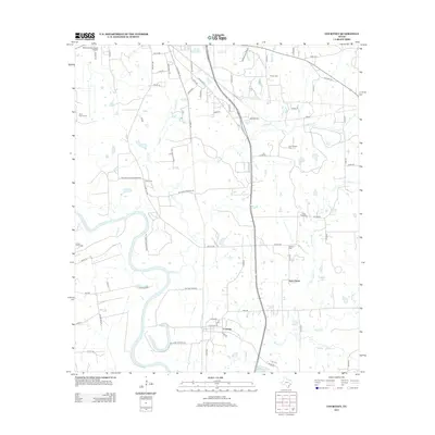
Historical Maps of Piedmont Through Time
43 maps found
1956 Carlos
Grimes County, TX
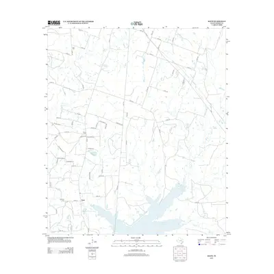
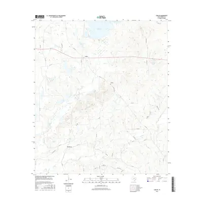
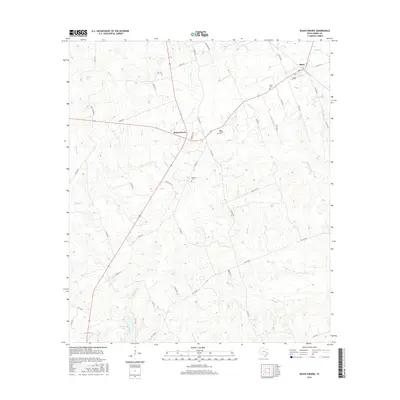
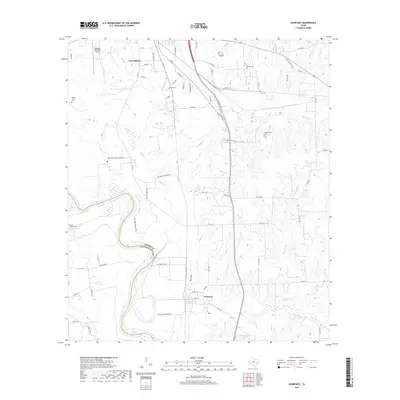
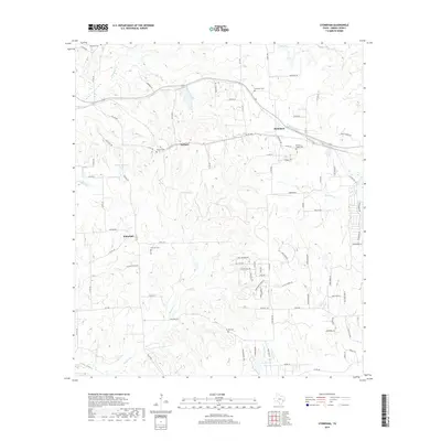
1958 Courtney
Grimes County, TX
1960 Carlos
Grimes County, TX
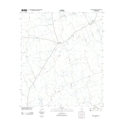
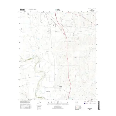
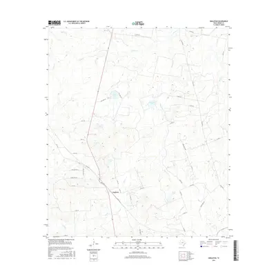
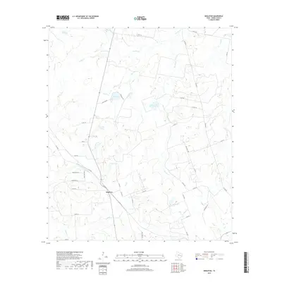
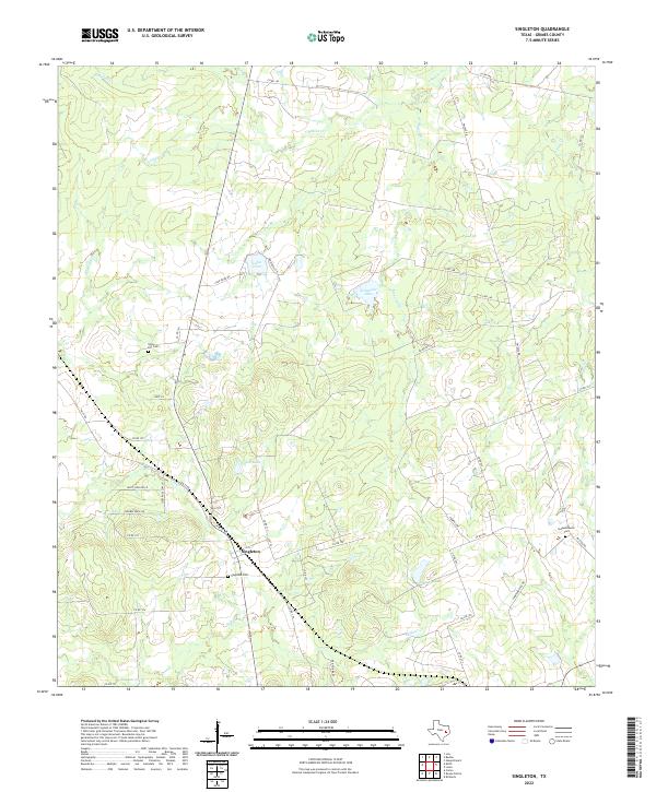
1961 Singleton
Grimes County, TX
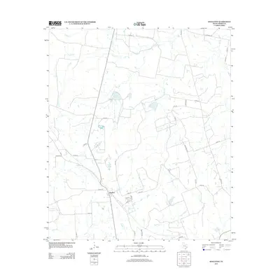
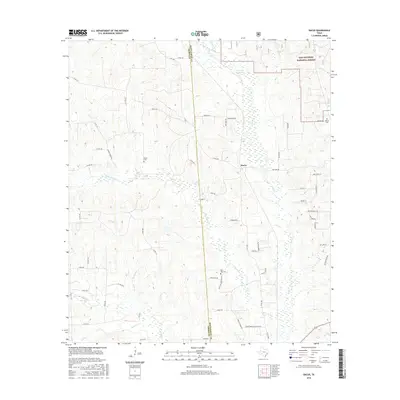
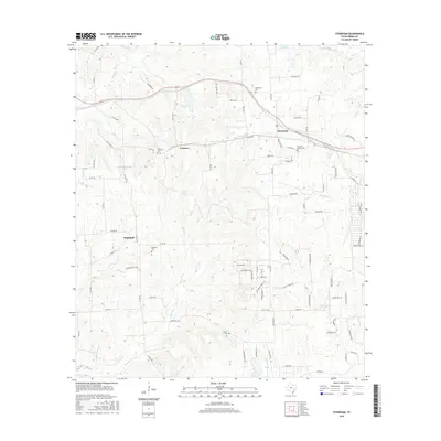
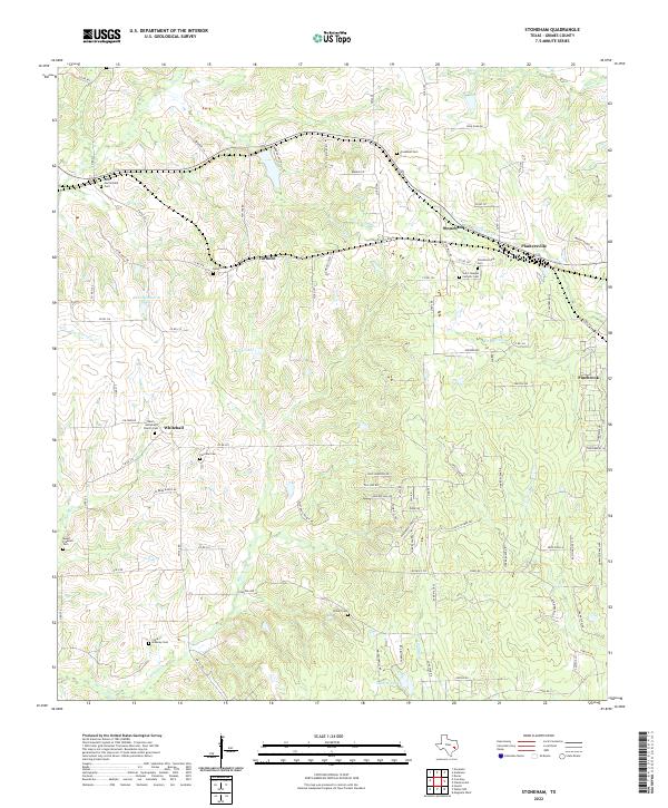
1961 Stoneham
Grimes County, TX
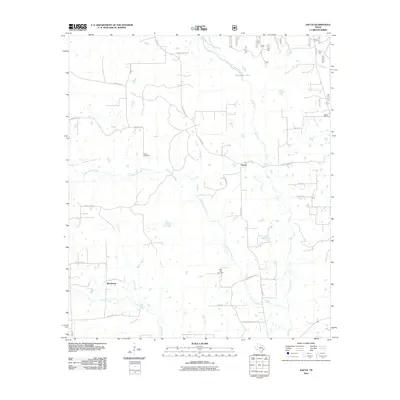
1962 Dacus
Grimes County, TX
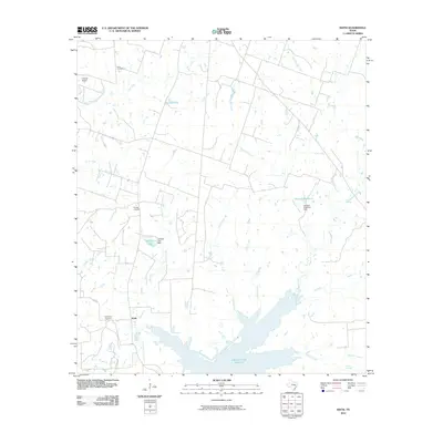
1962 Keith
Grimes County, TX
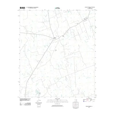
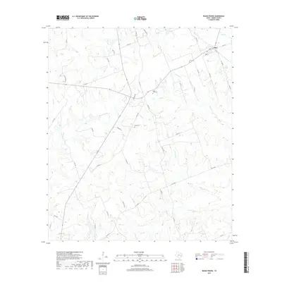
1962 Roans Prairie
Grimes County, TX
2010 Carlos
Grimes County, TX
2010 Courtney
Grimes County, TX
2010 Dacus
Grimes County, TX
2010 Keith
Grimes County, TX
2010 Roans Prairie
Grimes County, TX
2010 Singleton
Grimes County, TX
2010 Stoneham
Grimes County, TX
2013 Carlos
Grimes County, TX
2013 Courtney
Grimes County, TX
2013 Dacus
Grimes County, TX
2013 Keith
Grimes County, TX
2013 Roans Prairie
Grimes County, TX
2013 Singleton
Grimes County, TX
2013 Stoneham
Grimes County, TX
2016 Carlos
Grimes County, TX
2016 Courtney
Grimes County, TX
2016 Dacus
Grimes County, TX
2016 Keith
Grimes County, TX
2016 Roans Prairie
Grimes County, TX
2016 Singleton
Grimes County, TX
2016 Stoneham
Grimes County, TX
2019 Carlos
Grimes County, TX
2019 Courtney
Grimes County, TX
2019 Dacus
Grimes County, TX
2019 Keith
Grimes County, TX
2019 Roans Prairie
Grimes County, TX
2019 Singleton
Grimes County, TX
2019 Stoneham
Grimes County, TX
2022 Carlos
Grimes County, TX
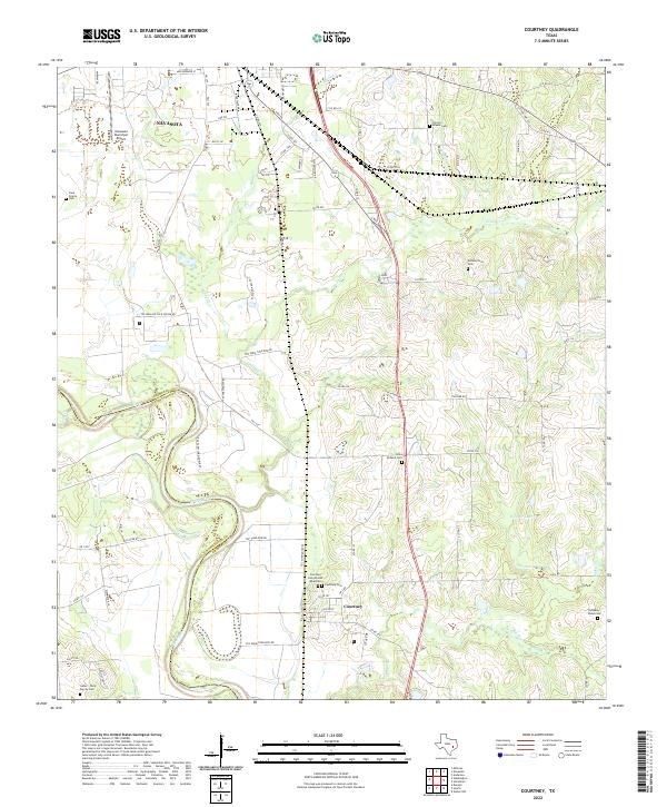
2022 Courtney
Grimes County, TX
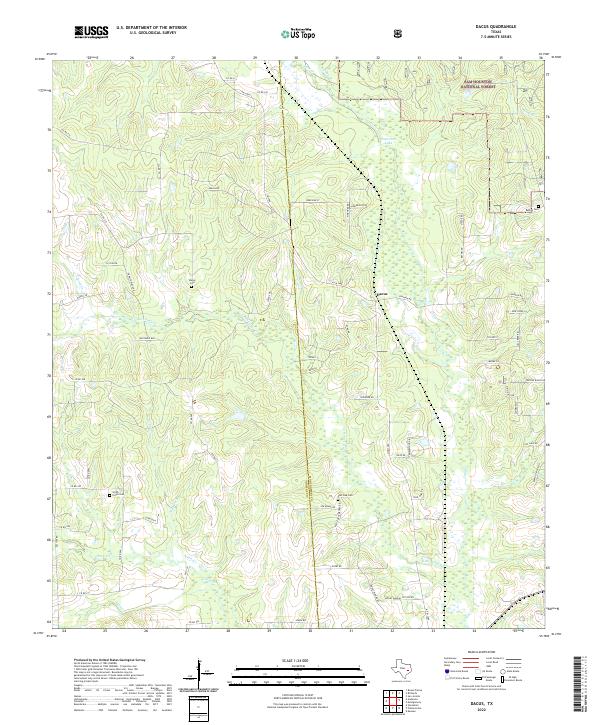
2022 Dacus
Grimes County, TX
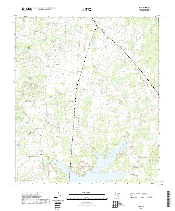
2022 Keith
Grimes County, TX
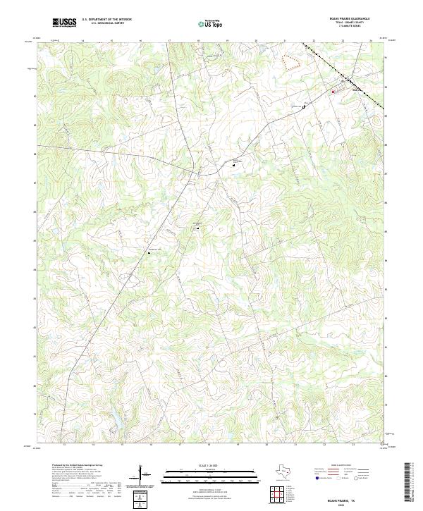
2022 Roans Prairie
Grimes County, TX
2022 Singleton
Grimes County, TX
2022 Stoneham
Grimes County, TX