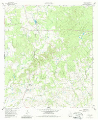
1960 Map of Carlos
USGS Topo · Published 1987About this map
The settlement of Carlos and the rural community of Piedmont anchor this 1960 survey of Grimes County. The landscape is defined by the winding course of Gibbons Creek and its many tributaries, including Hog Cr and Peach Creek. For genealogists and local historians, the map preserves the locations of several community landmarks, such as Pleasant Hill Cem, Little Flock Cem, and Anderson Grove Ch.
Find a feature on this map
36 named features on this map. Tap any name to fly to it.
Don’t see what you’re looking for? This feature index may not catch every label — zoom into the map to look around manually.
Map Details
Editions of this 1960 Carlos Map
4 editions found

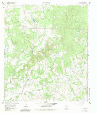
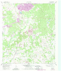
Other maps of this area

1913 · Millican
USGS Topo · 1:31,680

1914 · Navasota
USGS Topo · 1:62,500

1954 · Beaumont
USGS Topo · 1:250,000

1954 · Austin
USGS Topo · 1:250,000

1956 · Carlos
USGS Topo · 1:62,500

1957 · Beaumont
USGS Topo · 1:250,000

1958 · Navasota
USGS Topo · 1:24,000

1959 · Millican
USGS Topo · 1:24,000

1959 · Reliance
USGS Topo · 1:24,000

1959 · Ferguson Crossing
USGS Topo · 1:24,000