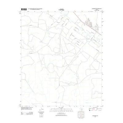
2012 Map of Carlsbad
USGS Topo · Published 2012About this map
Carlsbad anchors the northeast corner of this West Texas landscape, where a structured grid of residential streets like Llano St and Mason St meets the open range. The surrounding terrain is defined by its intermittent drainage systems, notably the branching paths of Sulpher Draw and Live Oak Cr that cut across the territory. Large-scale landholdings are a primary feature of the region's organization, with the Munn Ranch and Holiman Ranch marking substantial tracts between the waterways. The local road network reflects a botanical theme in its rural routes, including White Oak Rd S, Post Oak Rd S, and Pin Oak Rd. This 2012 survey illustrates the modern configuration of the cattle and ranching country in Tom Green County, showing how historical property lines and natural draws dictate the placement of loops like S Carlsbad Loop.
Find a feature on this map
43 named features on this map. Tap any name to fly to it.
Don’t see what you’re looking for? This feature index may not catch every label — zoom into the map to look around manually.
Map Details
Editions of this 2012 Carlsbad Map
This is the sole edition of this map. No revisions or reprints were ever made.
Other maps of this area

1895 · Sherwood
USGS Topo · 1:125,000

1924 · Sherwood 1-a
USGS Topo · 1:48,000

1928 · Tankersly
USGS Topo · 1:62,500

1954 · San Angelo
USGS Topo · 1:250,000

1957 · Carlsbad
USGS Topo · 1:62,500

1957 · Twin Buttes
USGS Topo · 1:24,000

1957 · Knickerbocker
USGS Topo · 1:62,500

1957 · Mount Nebo
USGS Topo · 1:24,000

1958 · San Angelo
USGS Topo · 1:250,000

1965 · San Angelo
USGS Topo · 1:250,000