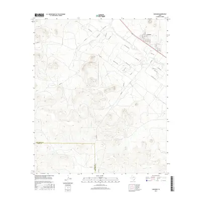
2016 Map of Carlsbad
USGS Topo · Published 2016About this map
The community of Carlsbad serves as the focal point for this landscape in West Texas, situated along the border of Tom Green Co and Irion County. A grid of residential streets, including Beaumont St and Fort Worth St, gives way to a network of rural roads that weave through the drainage basins of Live Oak Cr, Sulphur Draw, and E Rocky Cr. The nomenclature of the outlying roads reflects the local flora and fauna, with names like Post Oak Rd, Texas Oak Rd, Buck Hollow Loop, and Turkey Run. The terrain is defined by the ephemeral watercourses that feed into Brushy Cr, illustrating the relationship between the arid landscape and the settled areas of the Concho Valley region during this era of 2016.
Find a feature on this map
45 named features on this map. Tap any name to fly to it.
Don’t see what you’re looking for? This feature index may not catch every label — zoom into the map to look around manually.
Map Details
Editions of this 2016 Carlsbad Map
This is the sole edition of this map. No revisions or reprints were ever made.
Other maps of this area
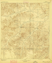
1895 · Sherwood
USGS Topo · 1:125,000
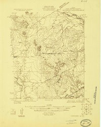
1924 · Sherwood 1-a
USGS Topo · 1:48,000
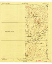
1928 · Tankersly
USGS Topo · 1:62,500

1954 · San Angelo
USGS Topo · 1:250,000
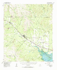
1957 · Carlsbad
USGS Topo · 1:62,500
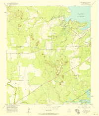
1957 · Twin Buttes
USGS Topo · 1:24,000
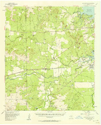
1957 · Knickerbocker
USGS Topo · 1:62,500
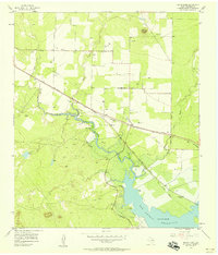
1957 · Mount Nebo
USGS Topo · 1:24,000
1958 · San Angelo
USGS Topo · 1:250,000
1965 · San Angelo
USGS Topo · 1:250,000