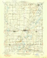
1910 Map of Carlyle
USGS Topo · Published 1950About this map
Carlyle serves as the focal point of this Clinton County landscape, situated where the Baltimore and Ohio RR crosses the Kaskaskia River. The map reveals a dense network of early 20th-century rural infrastructure, characterized by an exceptional number of small school districts such as Hull School, Schwierjohn School, and Matsler School. The terrain is marked by distinct elevations like The Mound and Browns Hill, which stand above the river's floodplains and numerous oxbow lakes including Horseshoe Lake and Blanke Lake.
Find a feature on this map
94 named features on this map. Tap any name to fly to it.
Don’t see what you’re looking for? This feature index may not catch every label — zoom into the map to look around manually.
Map Details
Editions of this 1910 Carlyle Map
2 editions found
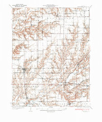
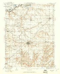
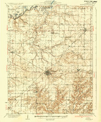
Other maps of this area

1906 · Breese
USGS Topo · 1:62,500

1907 · Breese
USGS Topo · 1:62,500

1910 · Carlyle
USGS Topo · 1:62,500

1910 · Okawville
USGS Topo · 1:62,500

1914 · Centralia
USGS Topo · 1:62,500

1931 · Hoyleton
USGS Topo · 1:48,000
1932 · Greenville
USGS Topo · 1:62,500
1932 · Nashville
USGS Topo · 1:62,500

1935 · Centralia
USGS Topo · 1:62,500
1936 · Nashville
USGS Topo · 1:62,500