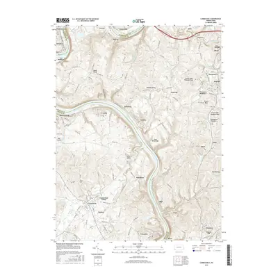
2016 Map of Carmichaels
USGS Topo · Published 2016About this map
The Monongahela River carves a deep path through this portion of Fayette, Greene, and Washington Counties, anchoring a landscape defined by industrial legacy and river-bend settlements. Communities such as Crucible, Isabella, and Arensburg line the banks, many connected historically to the coal and coke industries of the region. The map reveals the intricate network of the Monongahela Railway and several numbered company towns or industrial sites like Tower Hill Number Number Two and Thompson Number 1, which speak to the area's extraction-based economy.
Find a feature on this map
144 named features on this map. Tap any name to fly to it.
Don’t see what you’re looking for? This feature index may not catch every label — zoom into the map to look around manually.
Map Details
Editions of this 2016 Carmichaels Map
This is the sole edition of this map. No revisions or reprints were ever made.
Other maps of this area

1900 · Masontown
USGS Topo · 1:62,500

1901 · Amity
USGS Topo · 1:62,500

1901 · Waynesburg
USGS Topo · 1:62,500

1902 · Brownsville
USGS Topo · 1:62,500

1903 · Masontown
USGS Topo · 1:62,500

1904 · Amity
USGS Topo · 1:62,500

1904 · Waynesburg
USGS Topo · 1:62,500

1906 · Brownsville
USGS Topo · 1:62,500

1931 · Brownsville
USGS Topo · 1:62,500

1931 · Masontown
USGS Topo · 1:62,500