2023 Map of Carmichaels
USGS Topo · Published 2023About this map
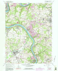
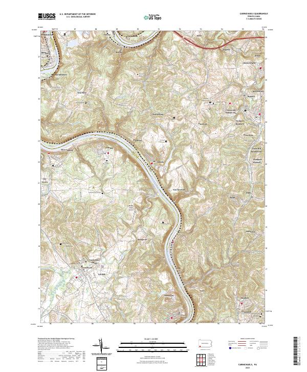
The Monongahela River winds through this landscape at the intersection of Greene, Fayette, and Washington counties, anchoring a series of industrial and riverside settlements. Along the western banks, the town of Carmichaels serves as a local hub, home to the Greene Academy Cem and the Laurel Point Cem. Further north, the riverfront is defined by Rices Landing and Crucible, places where the topography falls steeply toward the water. On the eastern side of the river, the landscape transitions into the rolling hills of Fayette County, dotted with coal-era patches and crossroads like Merrittstown, Republic, and Heistersburg. This map reveals a high density of small family and community burial grounds, such as the Davidson Williams Cem and Saint Marys Cem, which offer significant value for genealogical research. The presence of the Muddy Creek Airport and numerous named runs like Antram Run and Middle Run highlights the rural but active character of this river valley region.
Find a feature on this map
167 named features on this map. Tap any name to fly to it.
Don’t see what you’re looking for? This feature index may not catch every label — zoom into the map to look around manually.
Map Details
Editions of this 2023 Carmichaels Map
This is the sole edition of this map. No revisions or reprints were ever made.