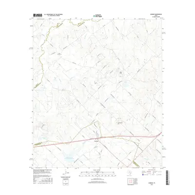
2016 Map of Carmine
USGS Topo · Published 2016About this map
The town of Carmine sits at the junction of several critical county lines, where the boundaries of Washington, Lee, and Fayette counties converge. This 2016 survey shows a landscape defined by the upper reaches of the Brazos River basin, with numerous creeks like Cedar Cr and Tracy Cr carving through the terrain. The presence of several small bodies of water, including Schoenberg Lake, Moye Lake, and the larger Soil Conservation Service Site 7 Reservoir, suggests a region heavily managed for agricultural water conservation.
Find a feature on this map
81 named features on this map. Tap any name to fly to it.
Don’t see what you’re looking for? This feature index may not catch every label — zoom into the map to look around manually.
Map Details
Editions of this 2016 Carmine Map
This is the sole edition of this map. No revisions or reprints were ever made.
Other maps of this area

1919 · Giddings
USGS Topo · 1:62,500

1919 · Dime Box
USGS Topo · 1:62,500

1954 · Austin
USGS Topo · 1:250,000

1956 · Somerville
USGS Topo · 1:62,500

1958 · Ledbetter
USGS Topo · 1:24,000

1958 · Greenvine
USGS Topo · 1:24,000
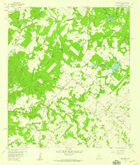
1958 · Nechanitz
USGS Topo · 1:24,000

1958 · Carmine
USGS Topo · 1:24,000

1958 · Burton
USGS Topo · 1:24,000
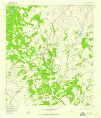
1958 · Round Top
USGS Topo · 1:24,000